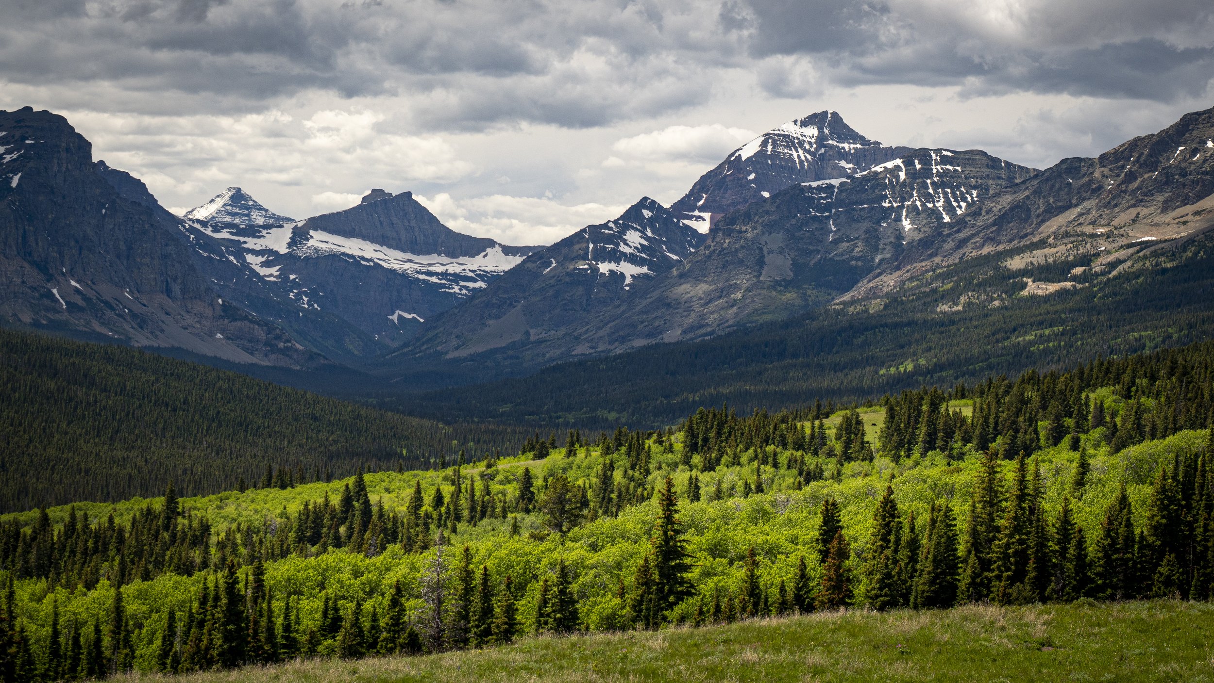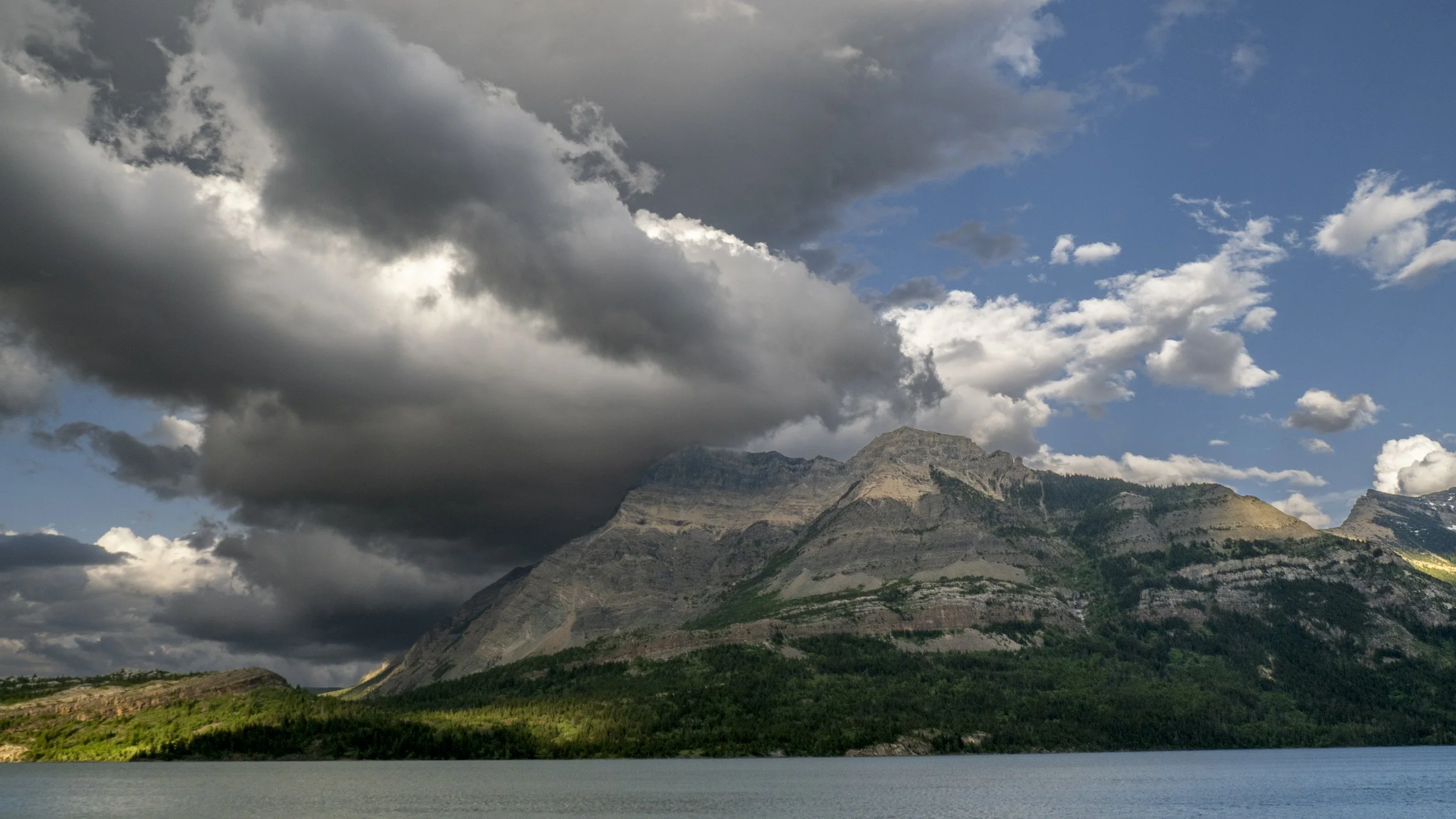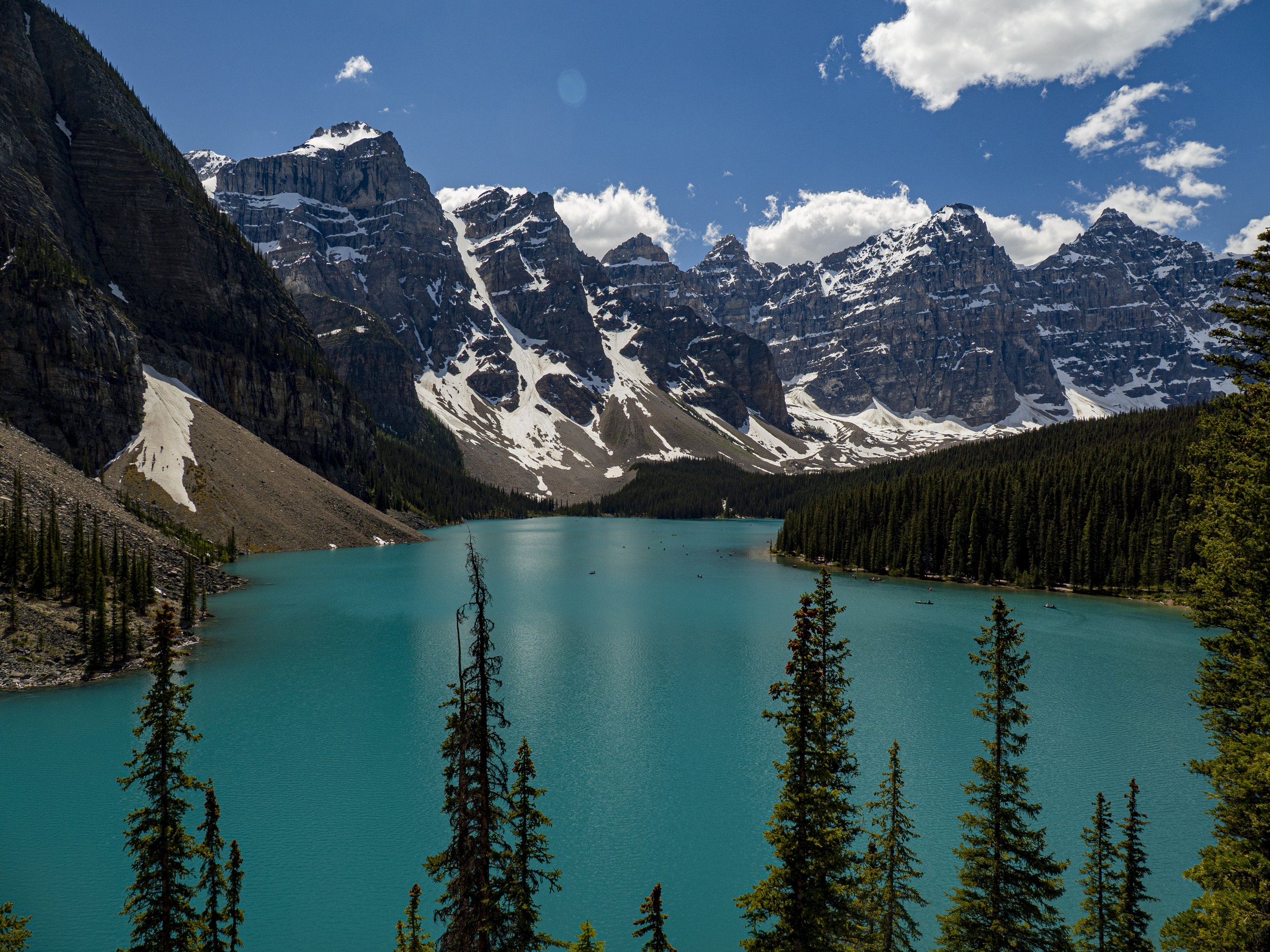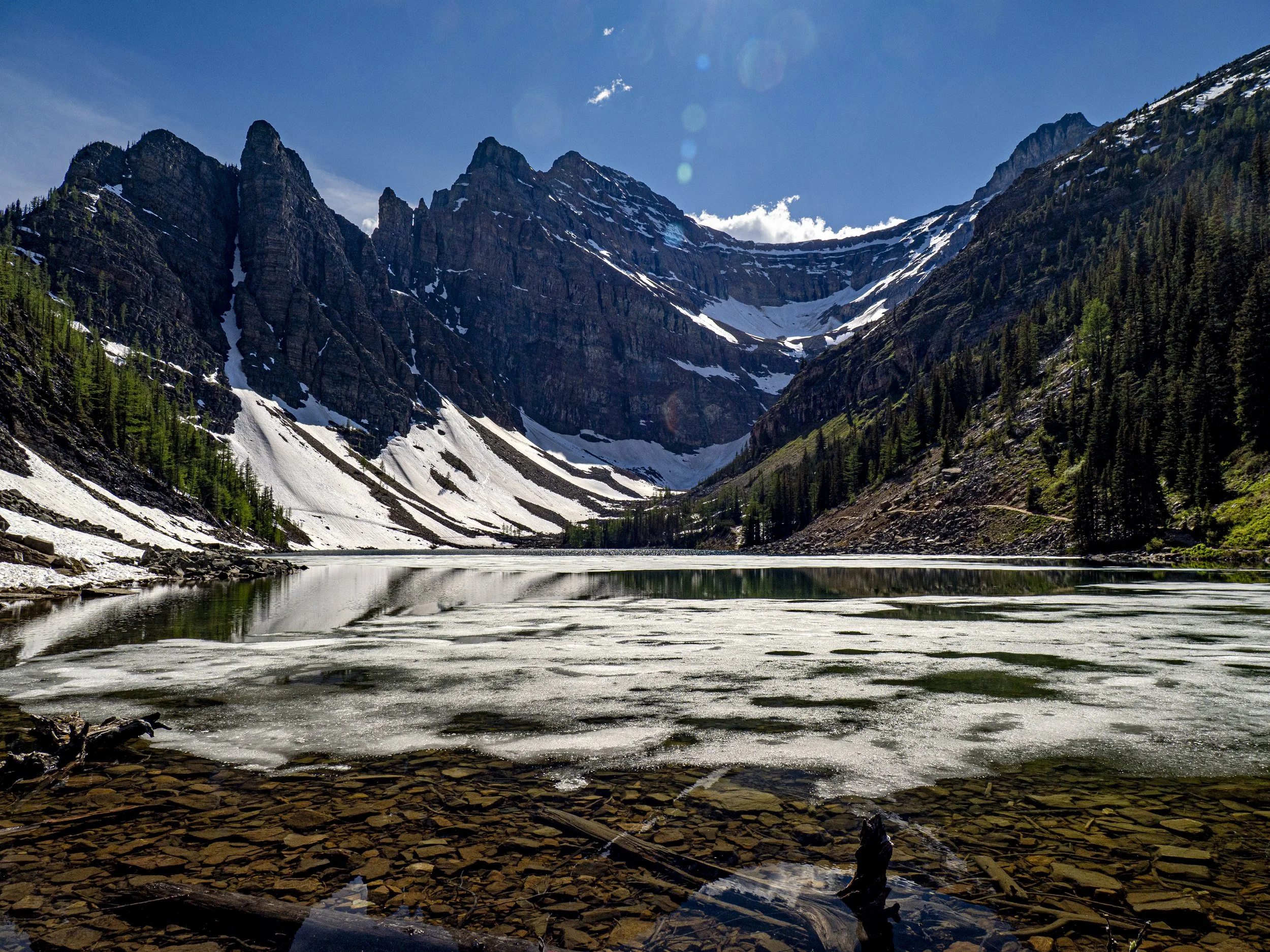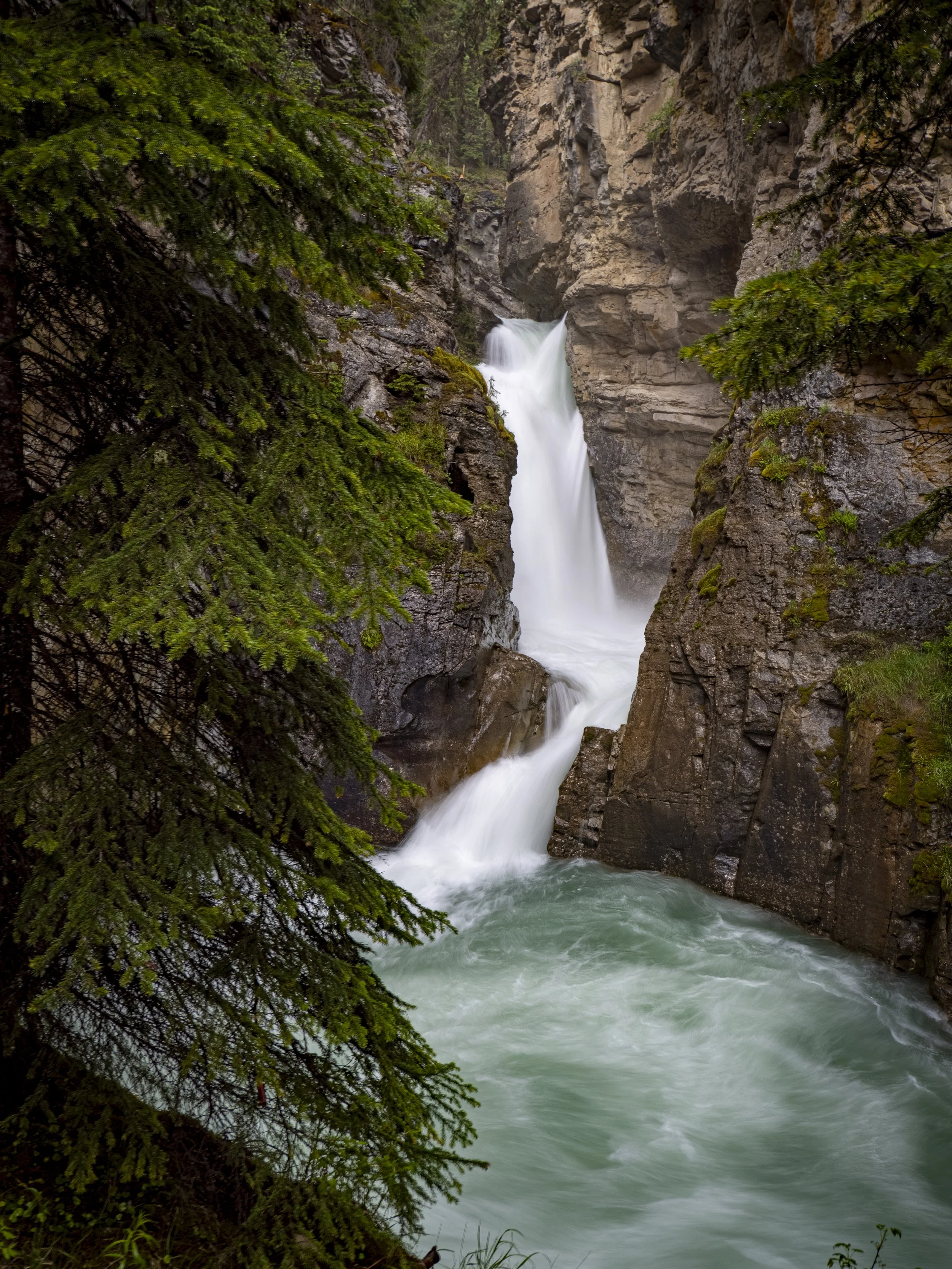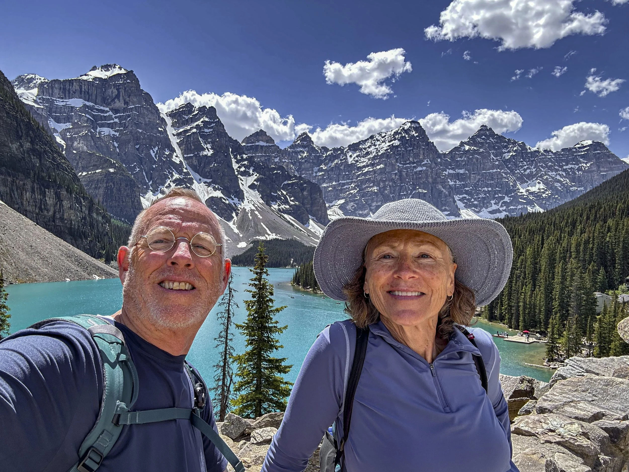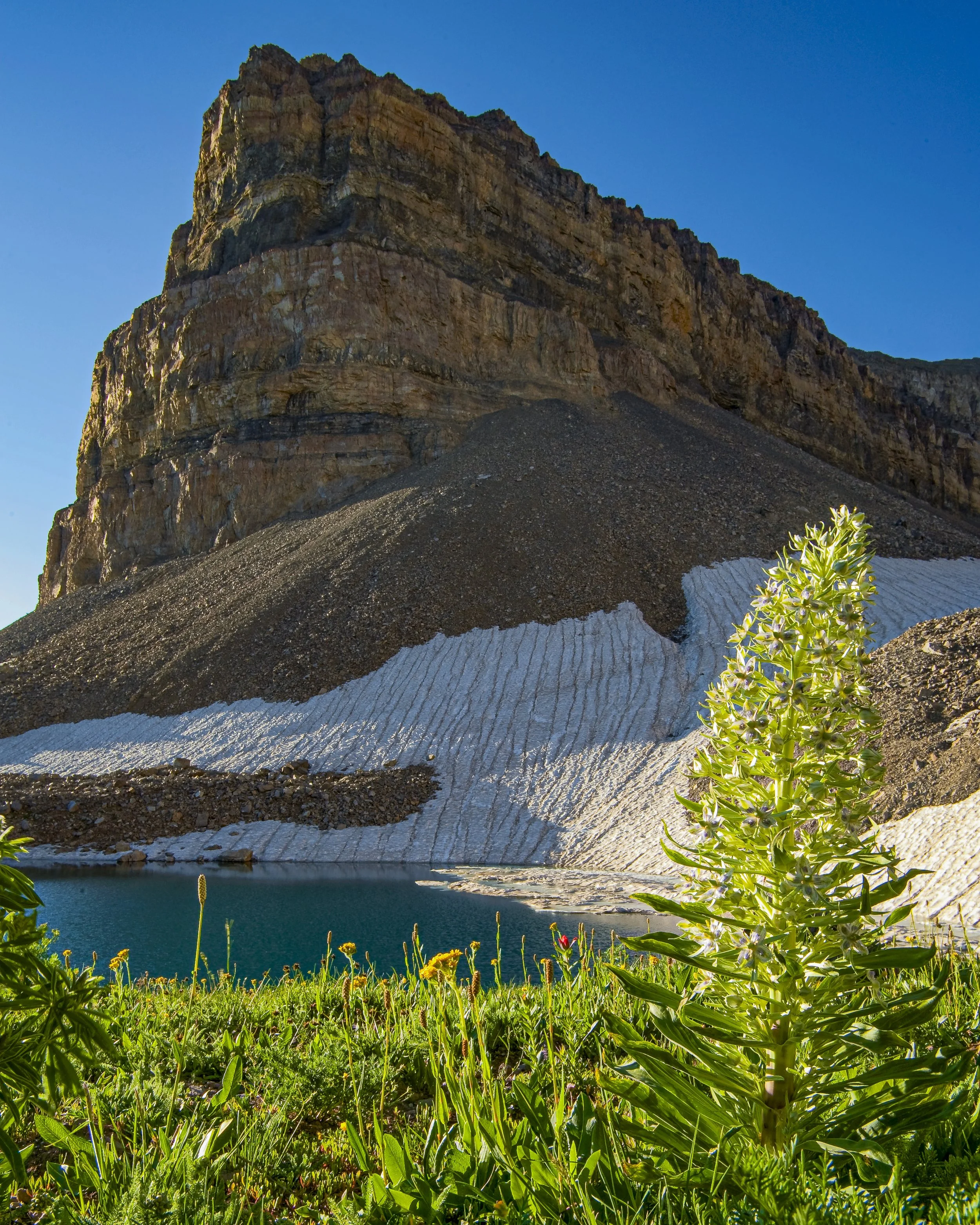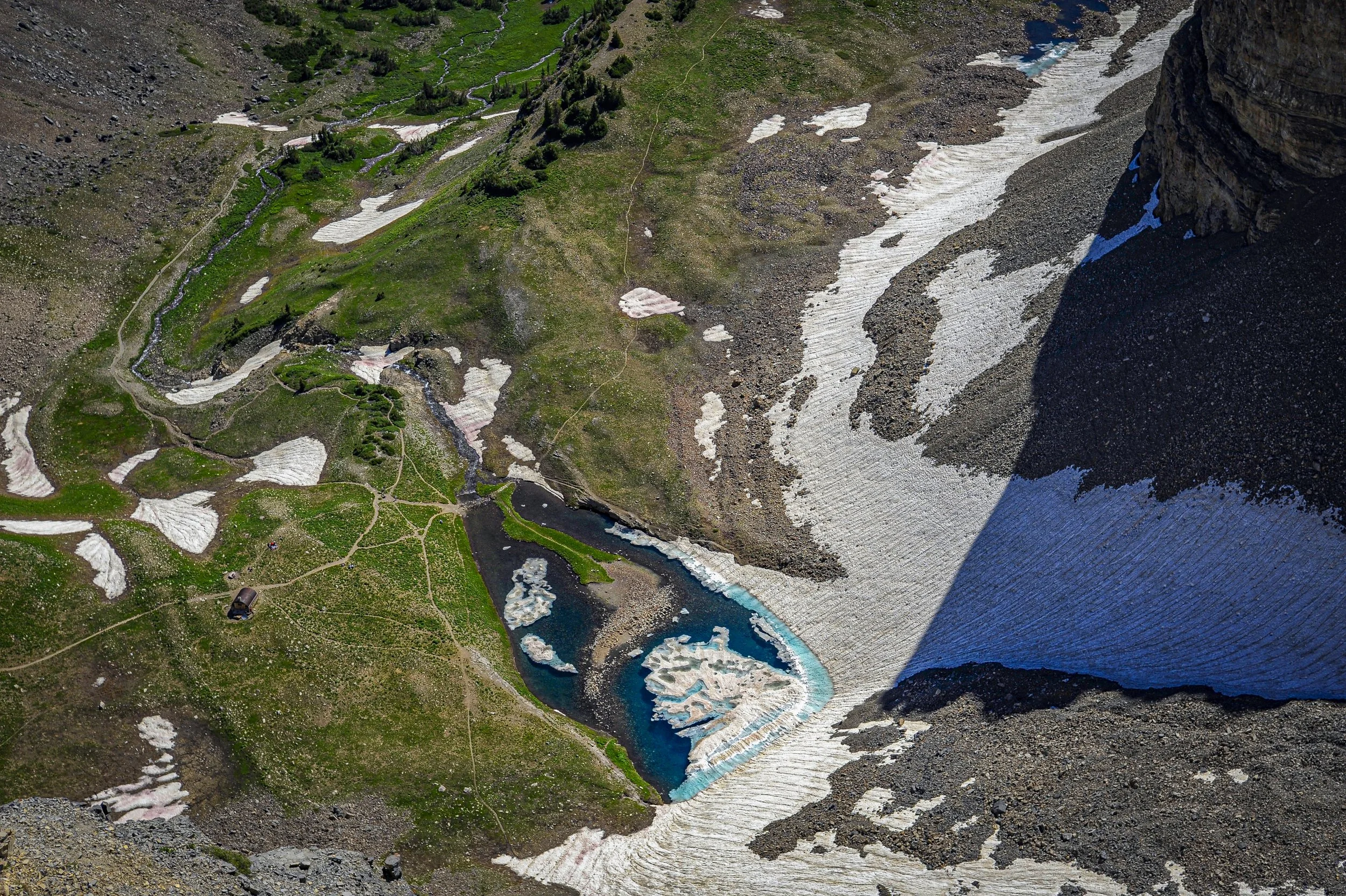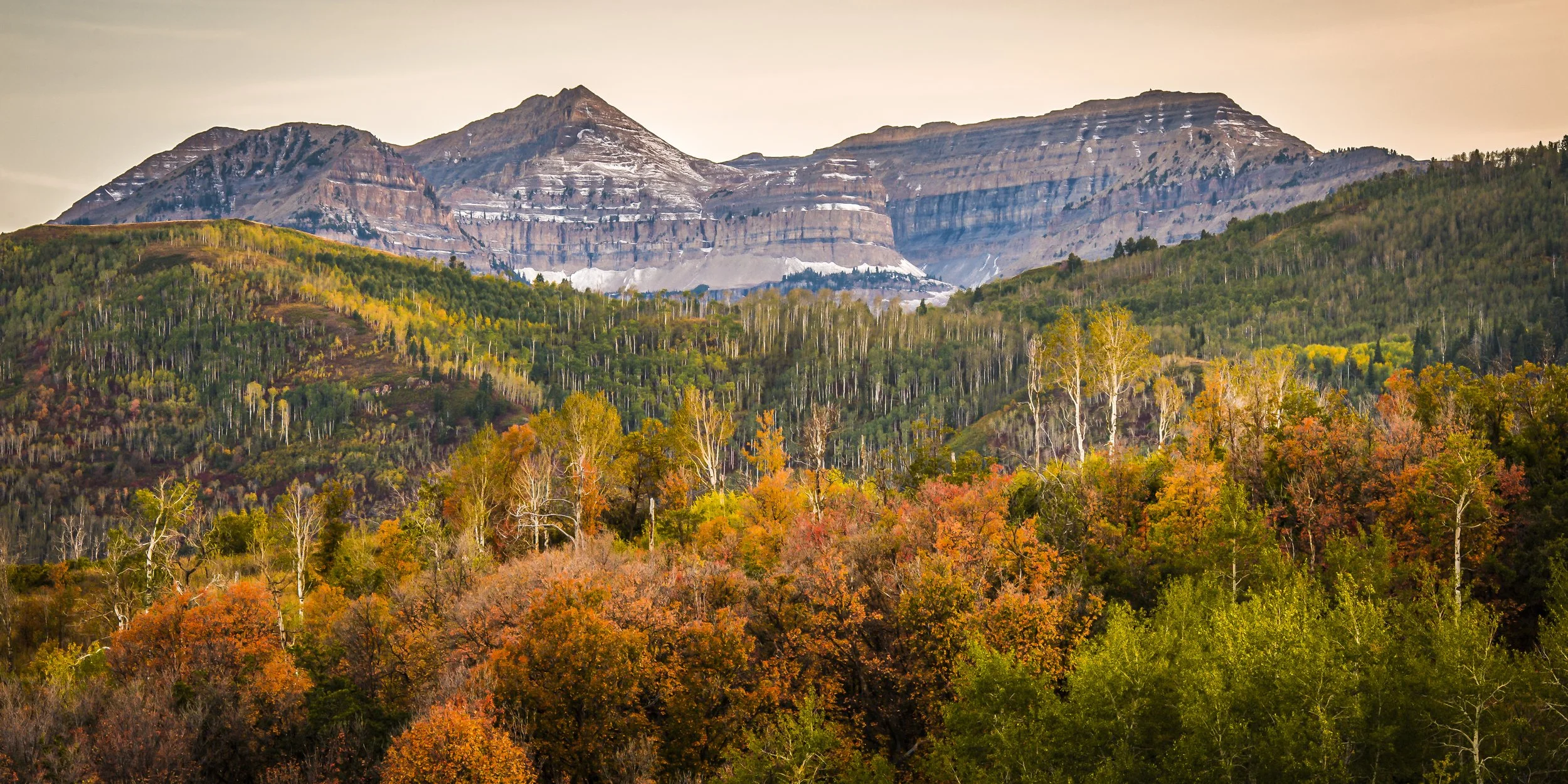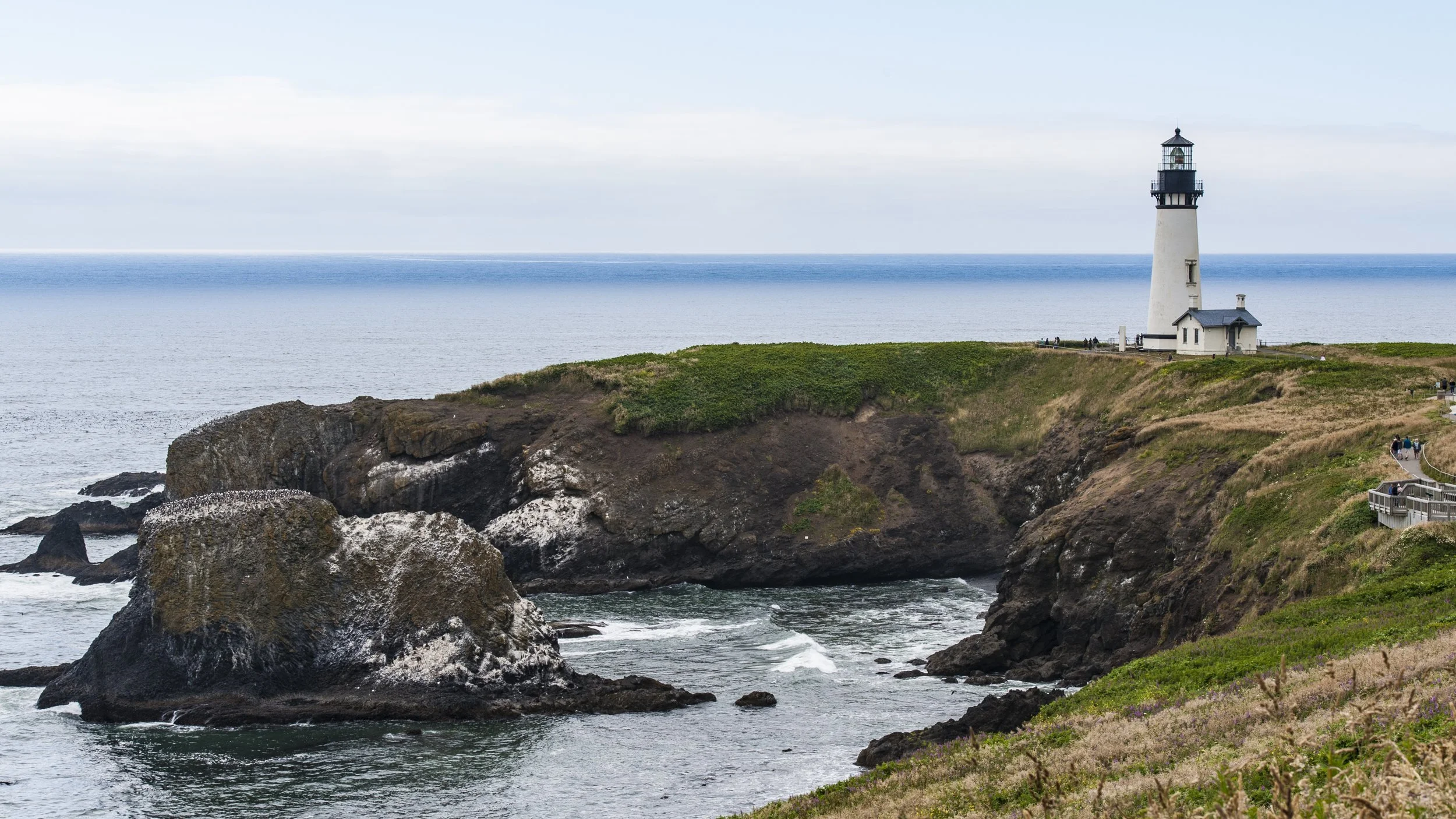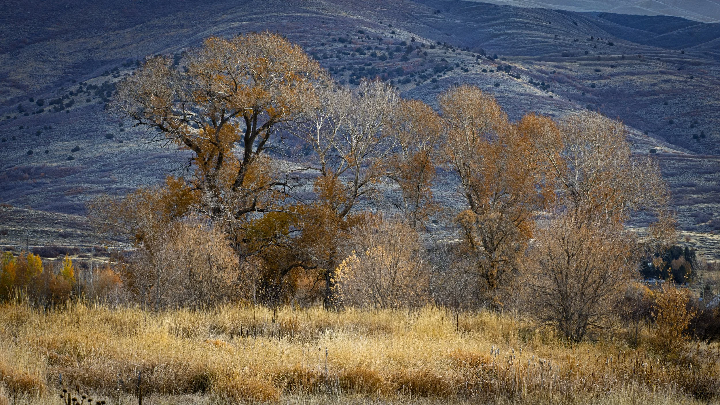
After nearly 2½ weeks of travel from our home in Utah to Dawson Creek, British Columbia, we have finally reached the beginning of the Alcan Highway. It has been a terrific adventure thus far, and we are excited about this next stage of the journey. Our drive from Banff National Park to Jasper along the Icefields Parkway was incredible. Though we had heavy thunderstorms, the mountains still revealed themselves in all their majesty and beauty. I’ve loved the Sierra Nevada mountains of California and the towering peaks of the Rockies in Utah and Colorado for most of my life, but the splendor of the Canadian Rockies goes unmatched. The heavy rains that have contributed to the wettest June on record for the Alberta province have kept the rivers, streams, and waterfalls running brim-full. True, the crowds of people in Banff and along the Icefields Parkway proved a challenge, it only briefly tainted the overall experience. We left the hoards behind at Jasper National Park and we expect our passage through British Columbia, the Yukon, and into Alaska to be much quieter.
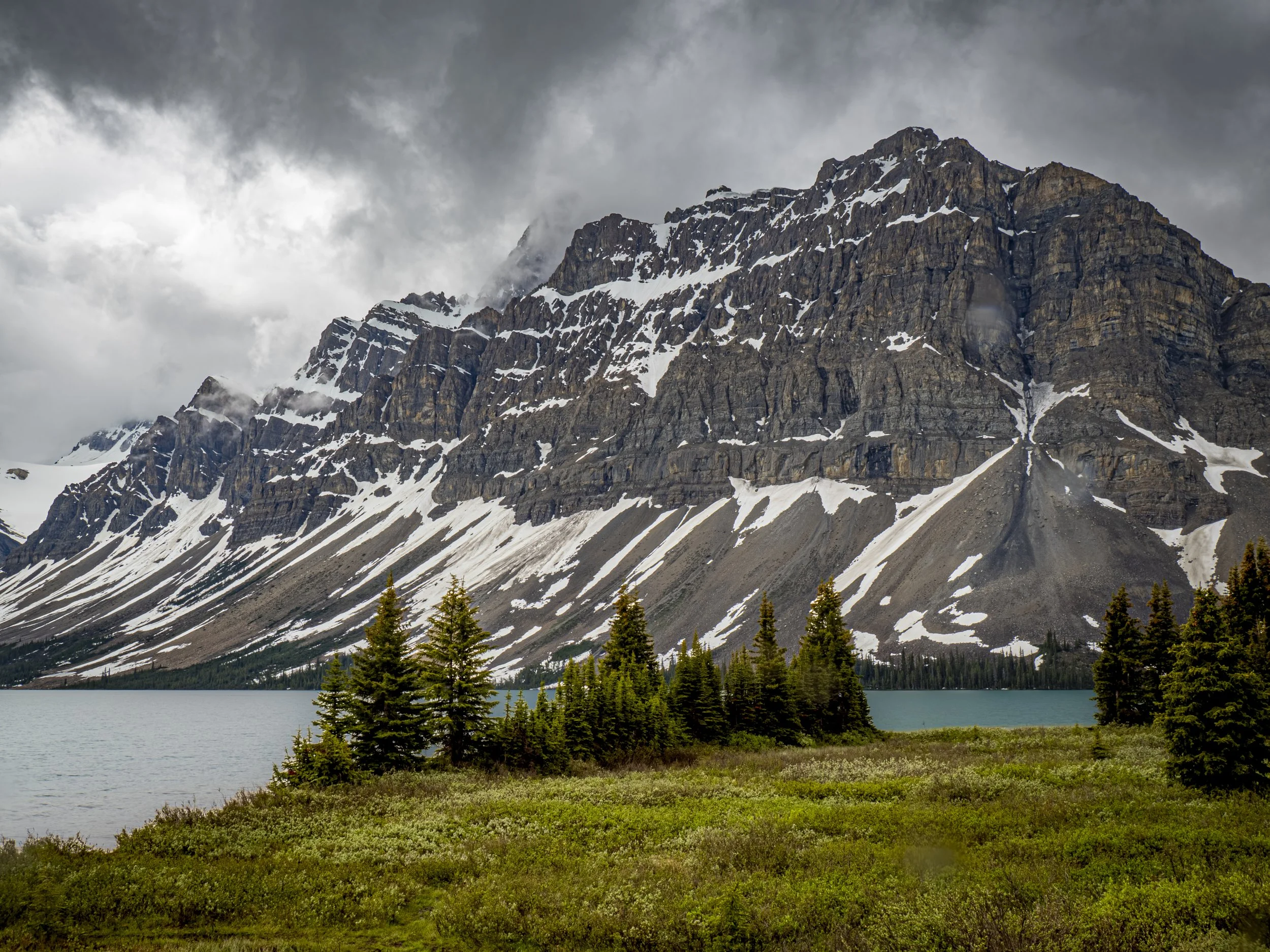
Bow Lake on the Icefield Parkway
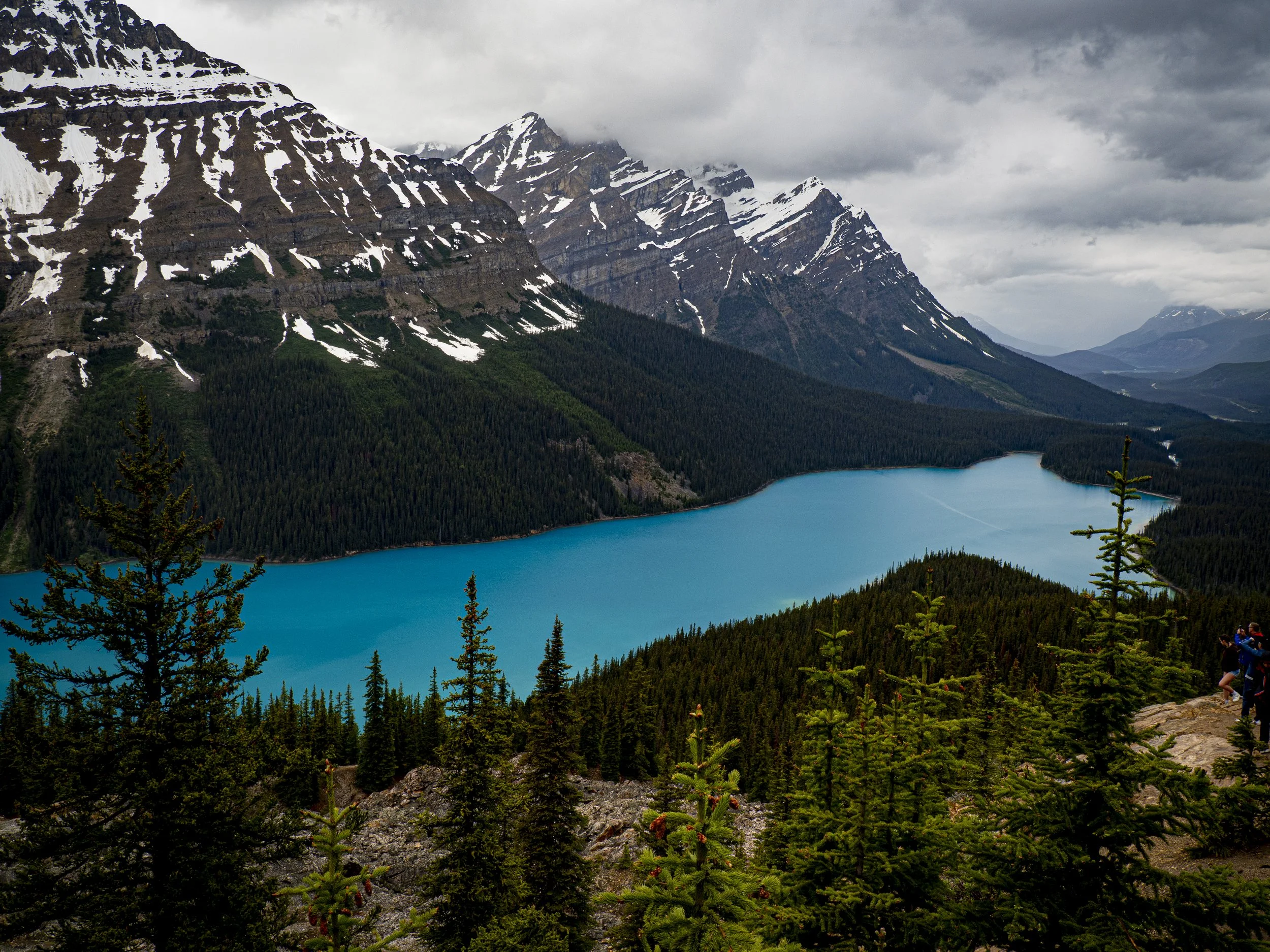
Beautiful Peyto Lake
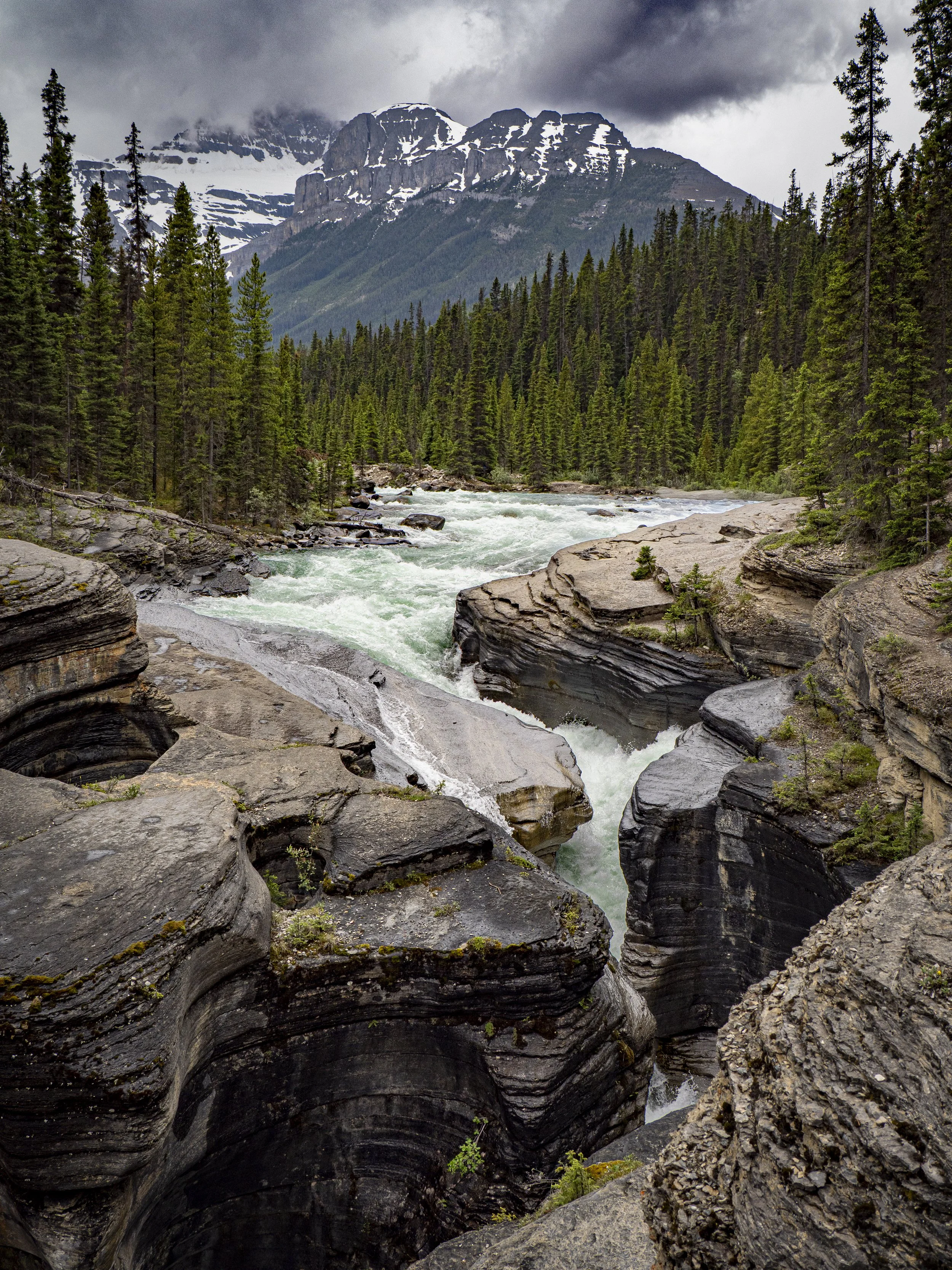
The Mistaya River
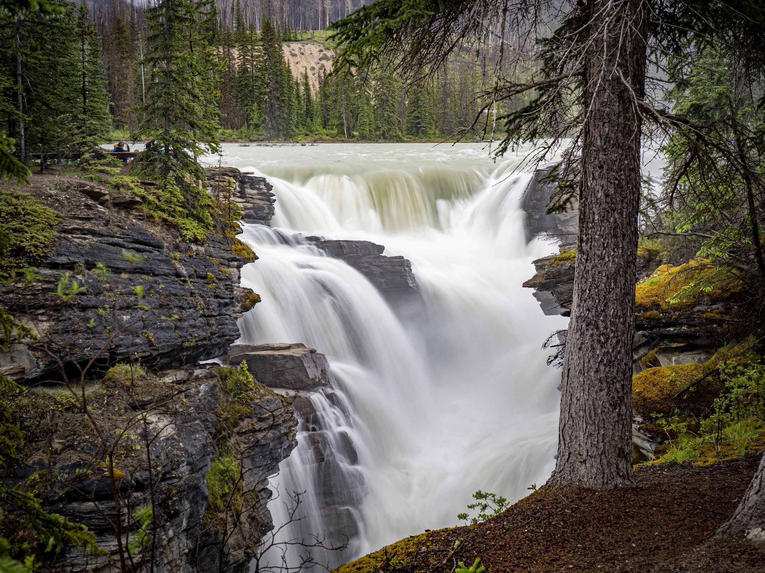
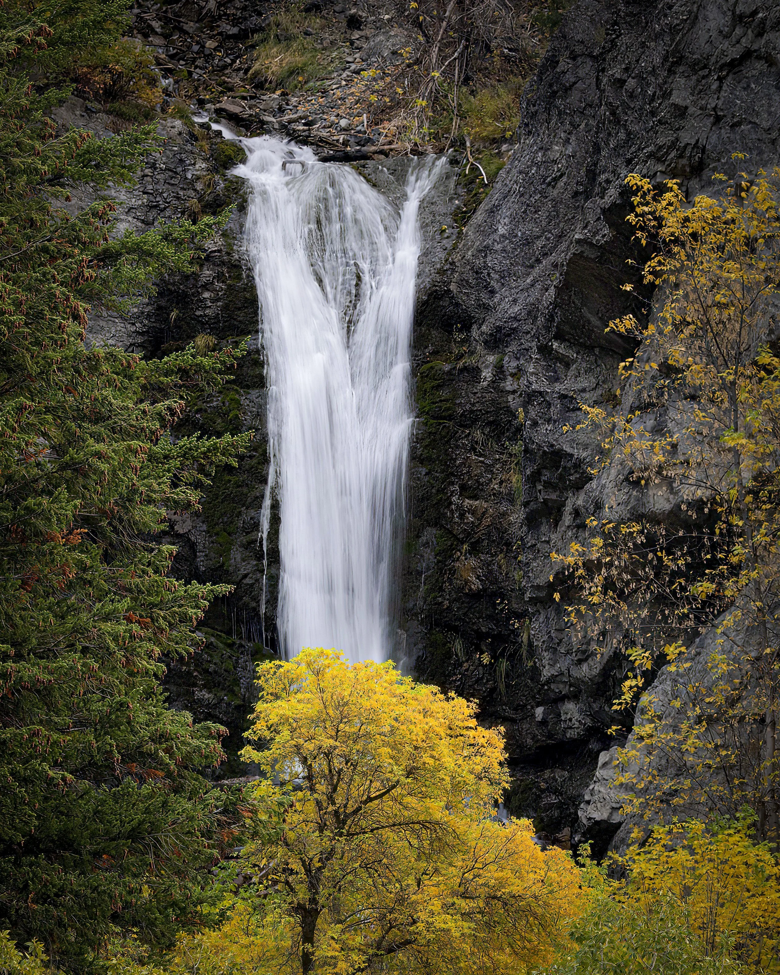
Athabasca Falls
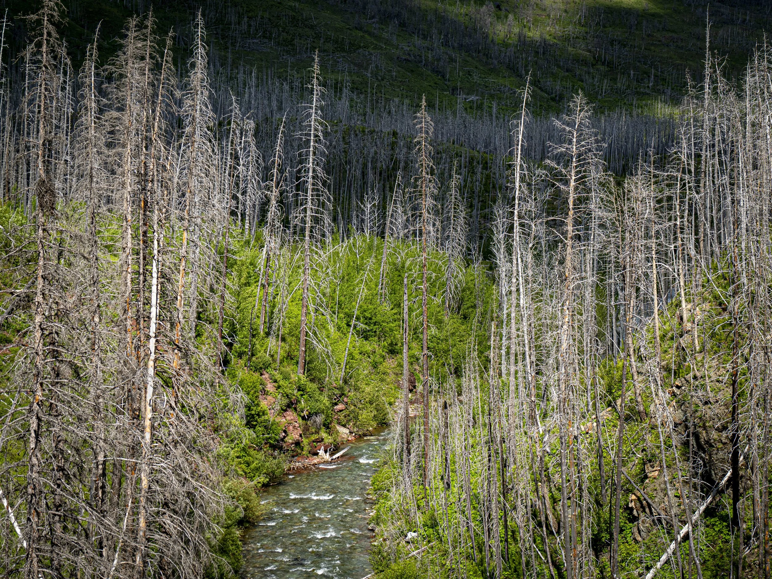
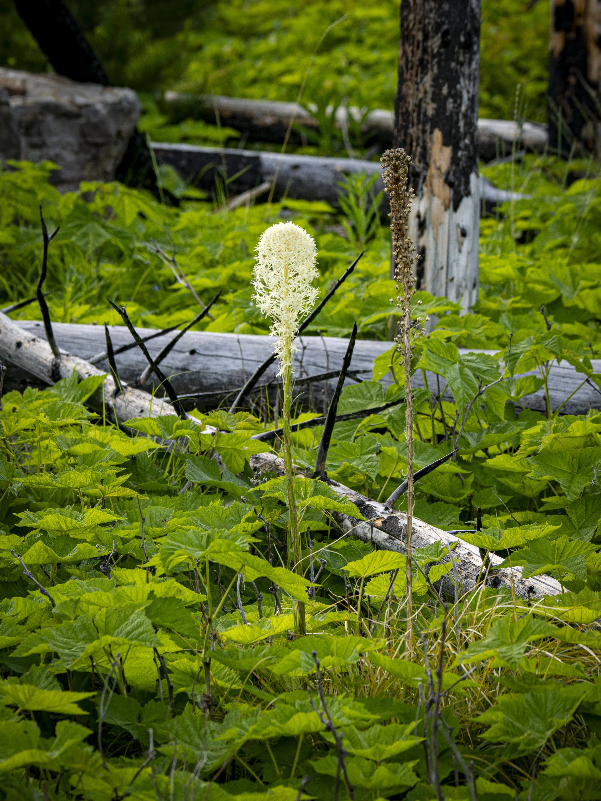
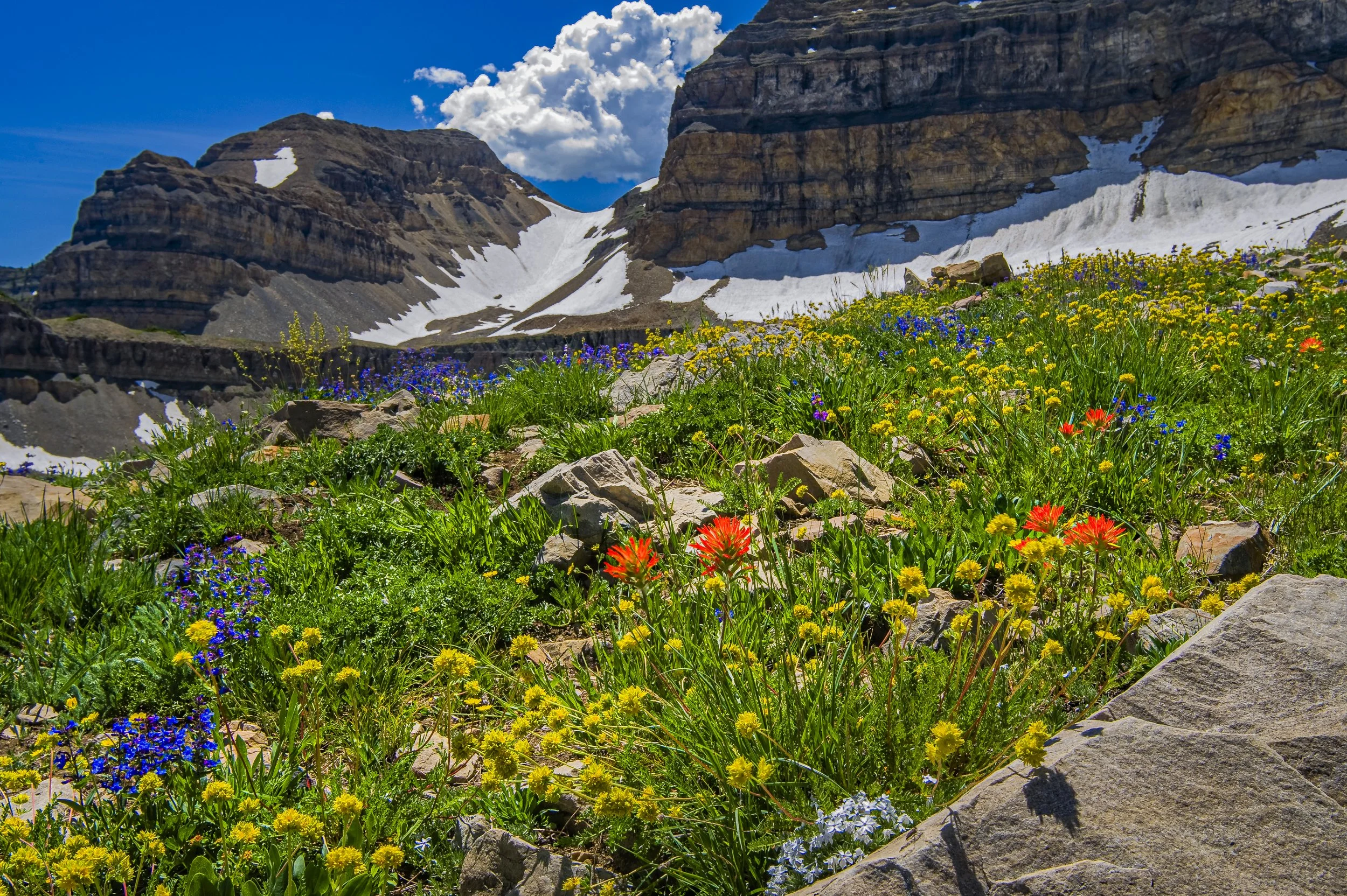
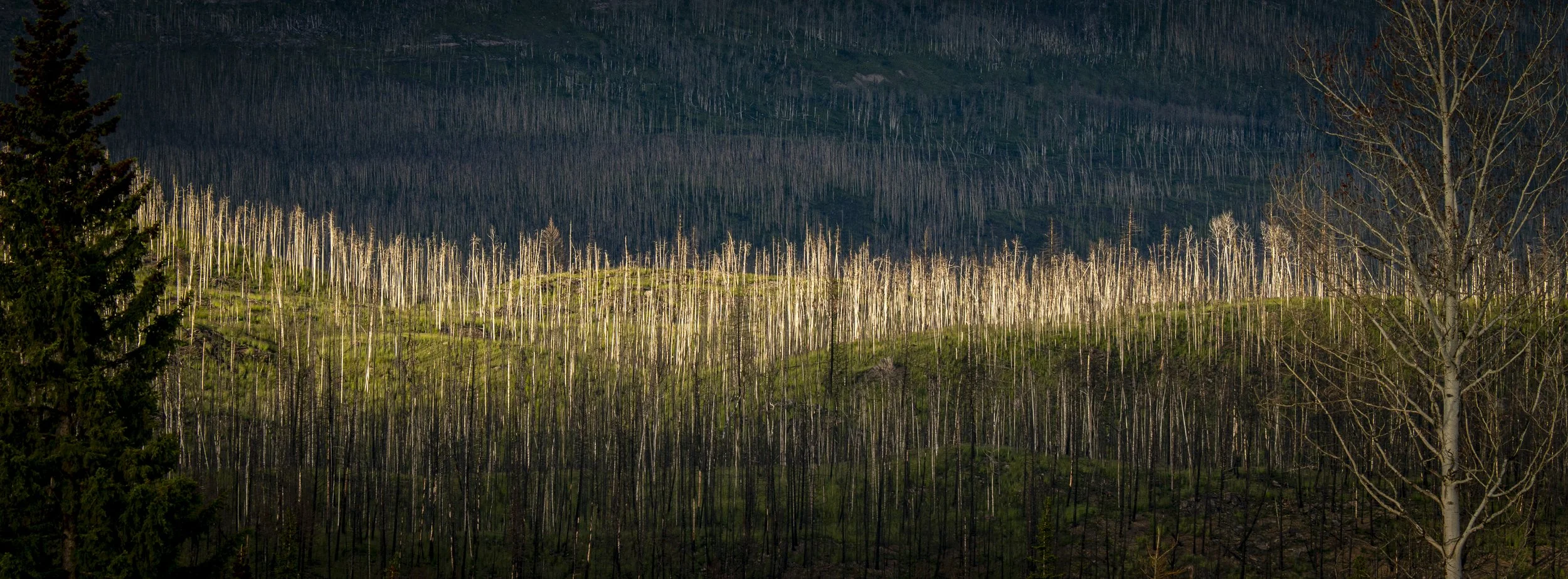
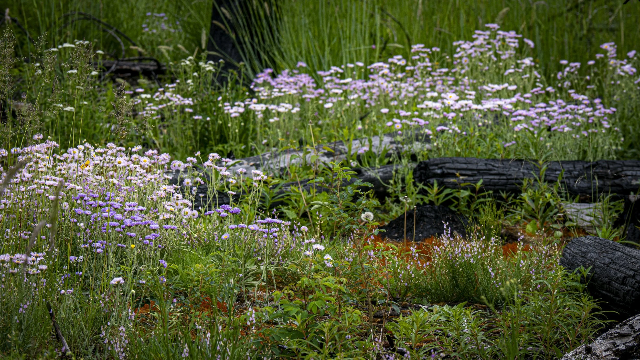
We held over in Grande Prairie an extra day/night to resupply, have the bearings checked on the Scamp, make a few additional minor repairs, check in with some of the family, and prepare ourselves for what lays ahead. I’ve even caught up on most of my image processing. When I look at my photographs for the last week, I realize it isn’t possible to fully capture the essence of this part of the world on a pixel sensor. The expanse of the world, the intensity of color, and the thousands of intimate scenes are simply too much to hold in a single set of photographic images. While in Jasper National Park, we asked a ranger for recommendation of a hike to see wildflowers. She set us on a path through the woods along the Athabasca River called The Wildflower Loop. In 2024, a terrible forest fire swept through the park. 1/3 of the town of Jasper was burned and, to a large extent, much of the forest along the northern Parkway within Jasper National Park. Forest fires are horribly destructive, and the devastation is painful to witness, but from the charred wreckage comes regrowth and renewal. The first half of The Wildflower Loop took us through woods that were left unscarred while the last half wound through a skeleton forest where already the understory showed signs of regeneration. Opening the forest canopy allows light and moisture to reach the lower surface and we witnessed brilliant carpets of multi-colored flowers blanket the now open spaces.
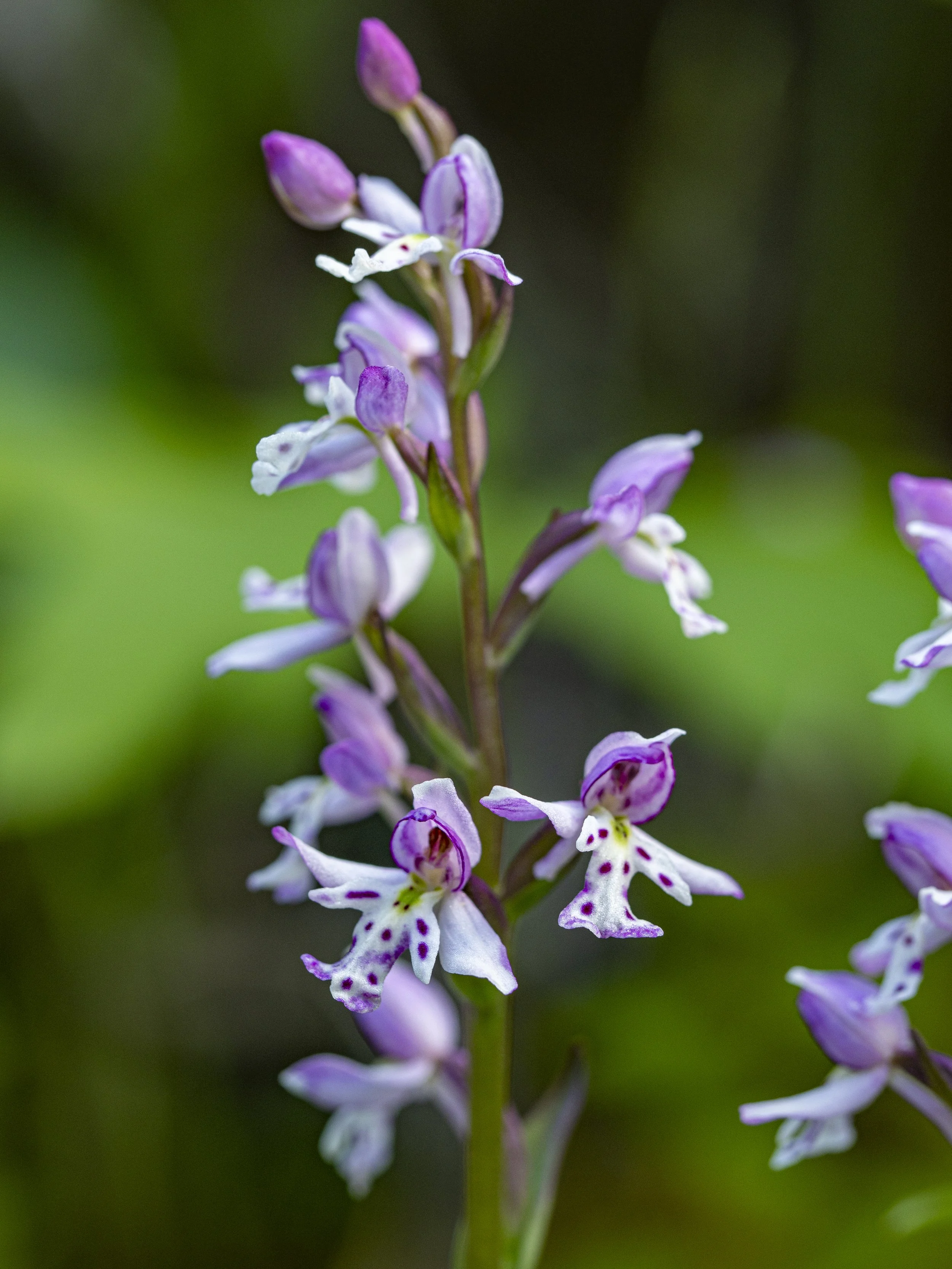
Round Leaf Orchid
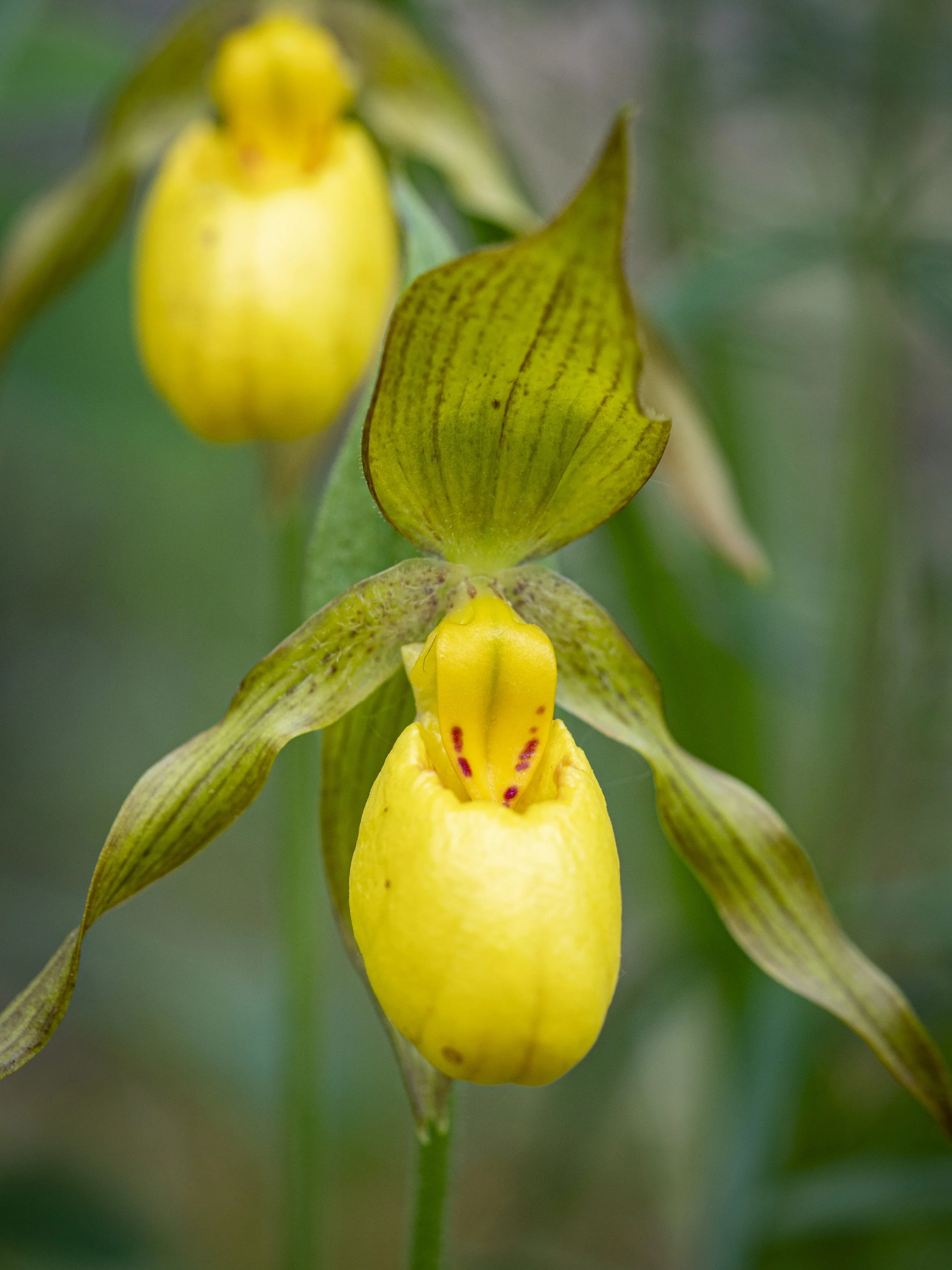
Yellow Lady Slipper Orchid
I saw flowers unfamiliar to me, flowers I had to view on bended knee, at the level of a chipmunk. To my surprise, I found a forest floor covered in orchids and lilies. The vegetation I found is far different than what I expected.
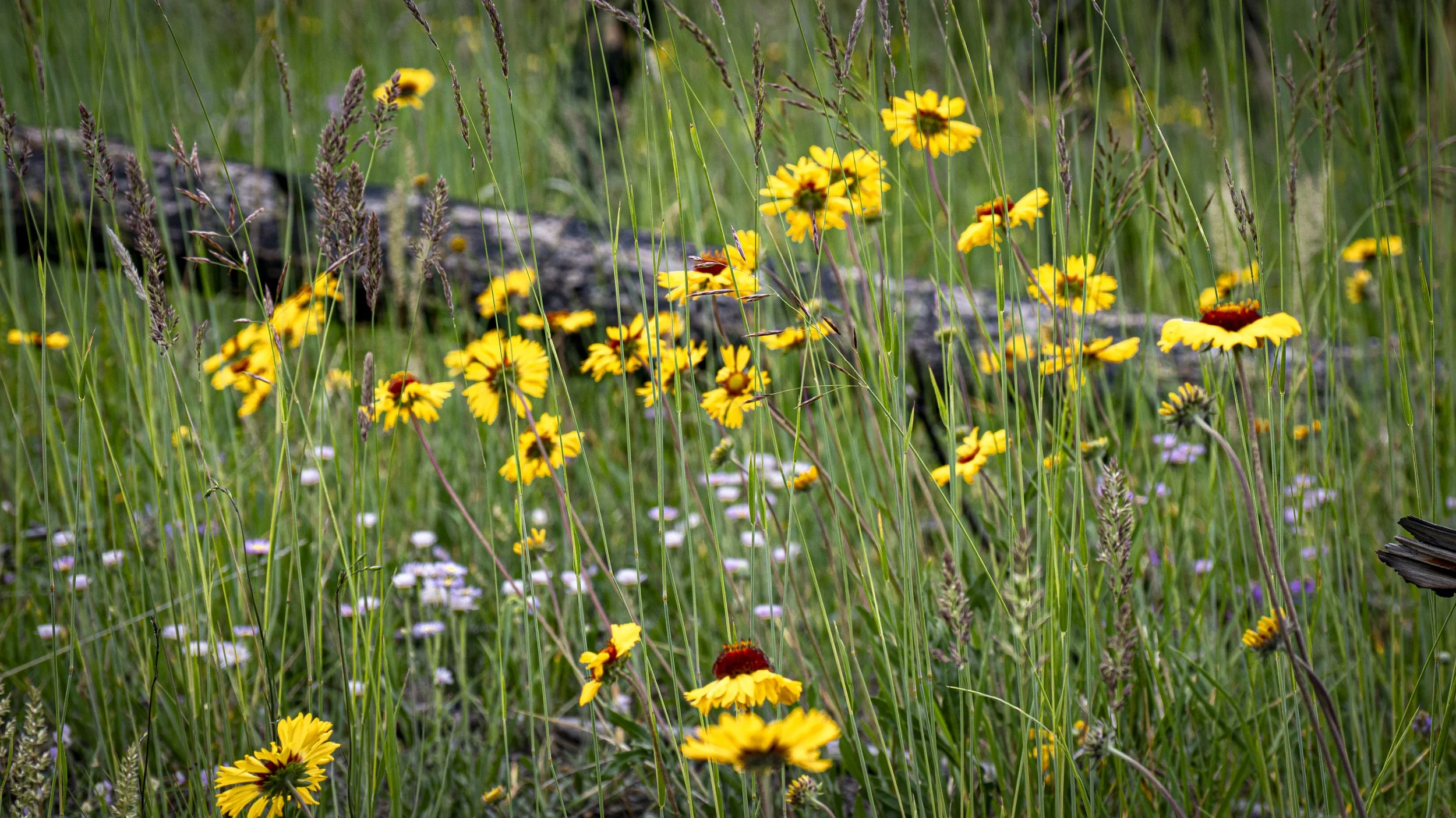
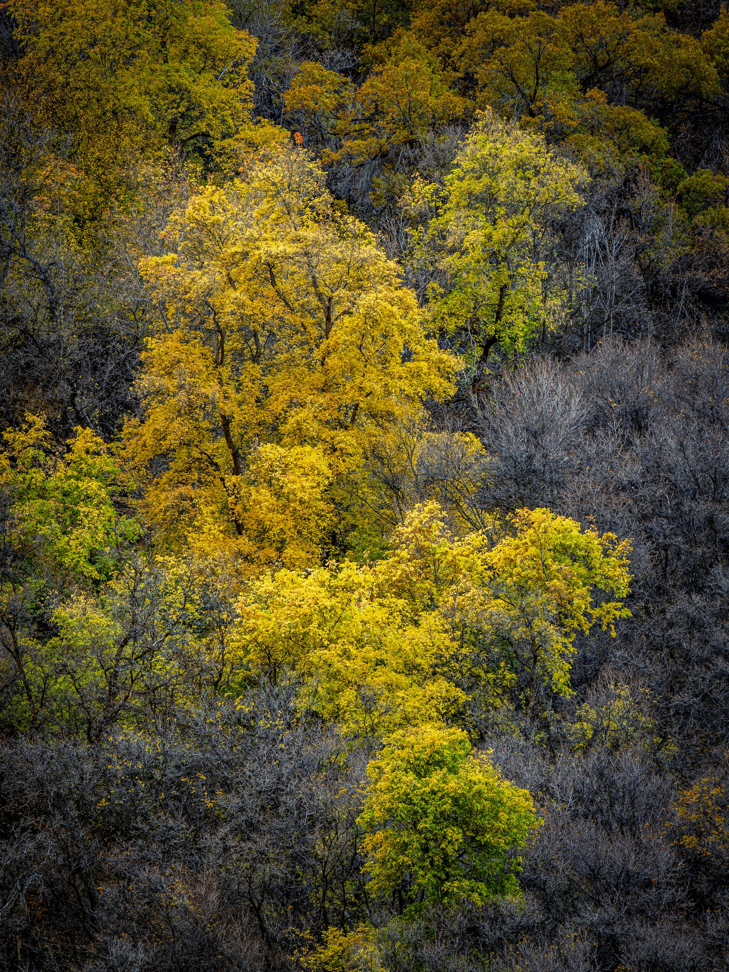
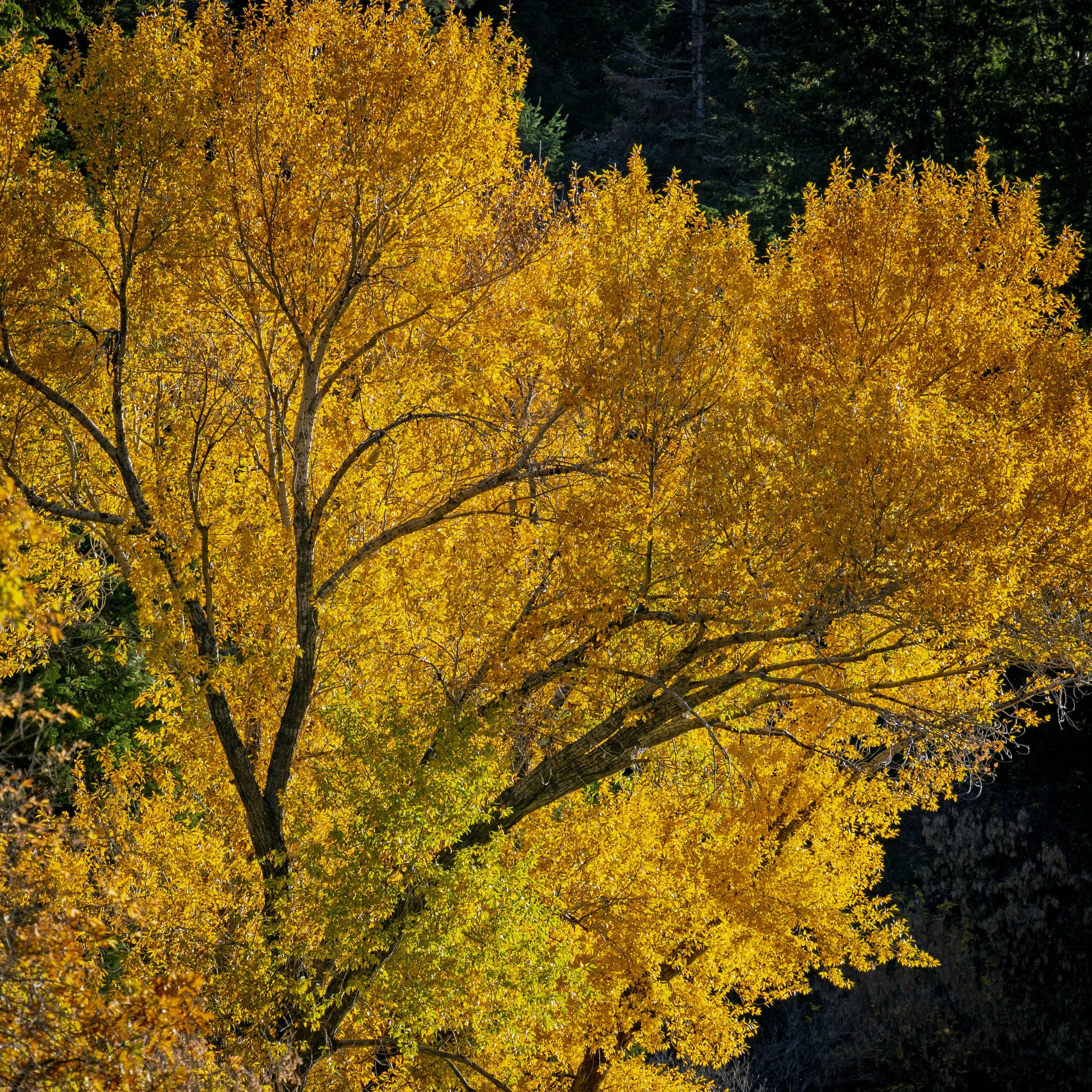
Regeneration after the wildfire
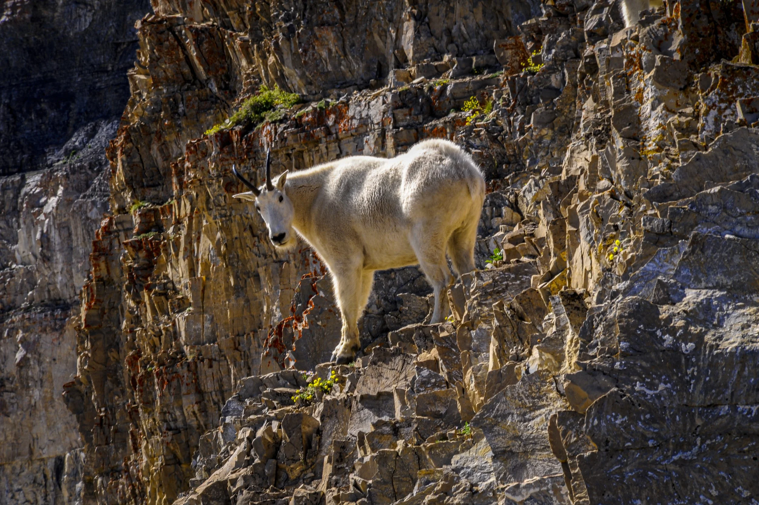
We haven’t seen as much wildlife as we want, but we are confident of many encounters on the road ahead. We came across a herd of mountain sheep grazing near the Athabasca River upon leaving Jasper. They appeared a bit mangey as they are losing their winter coats and preparing for the warmer weather of summer. Several bears have shown themselves, but not in a manner that has allowed for good photographs. We got a glimpse of the American buffalo or bison at a distance on the prairie hills. And of course, we’ve seen many deer and antelope. The animal that has remained elusive thus far is one of my favorites, the moose. I’ve been to Anchorage before and I know we’ll have plenty of opportunity to capture that long-legged, gangly creature.
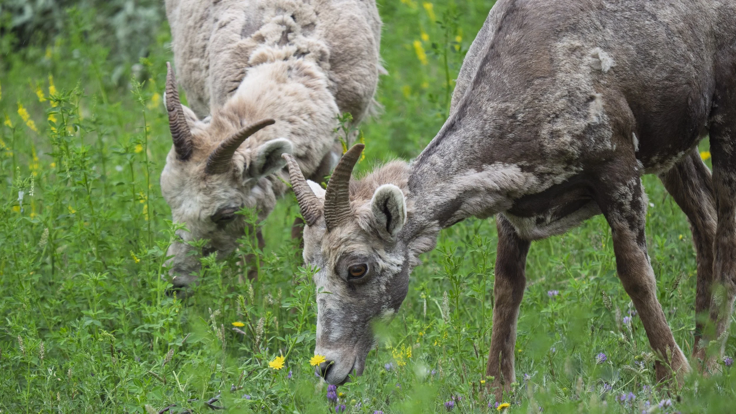
Grazing mountain sheep losing their winter coats
So far, every town we have stopped in has had thought provoking interpretive centers, museums, and visitor’s centers. Along the road are pullouts with signs describing the landscape, the First Nation history, and the influence of European settlers and others who came to this part of the world. It is a land rich in history and I am excited to learn about the origin, story, and impact of the Alaskan Highway.
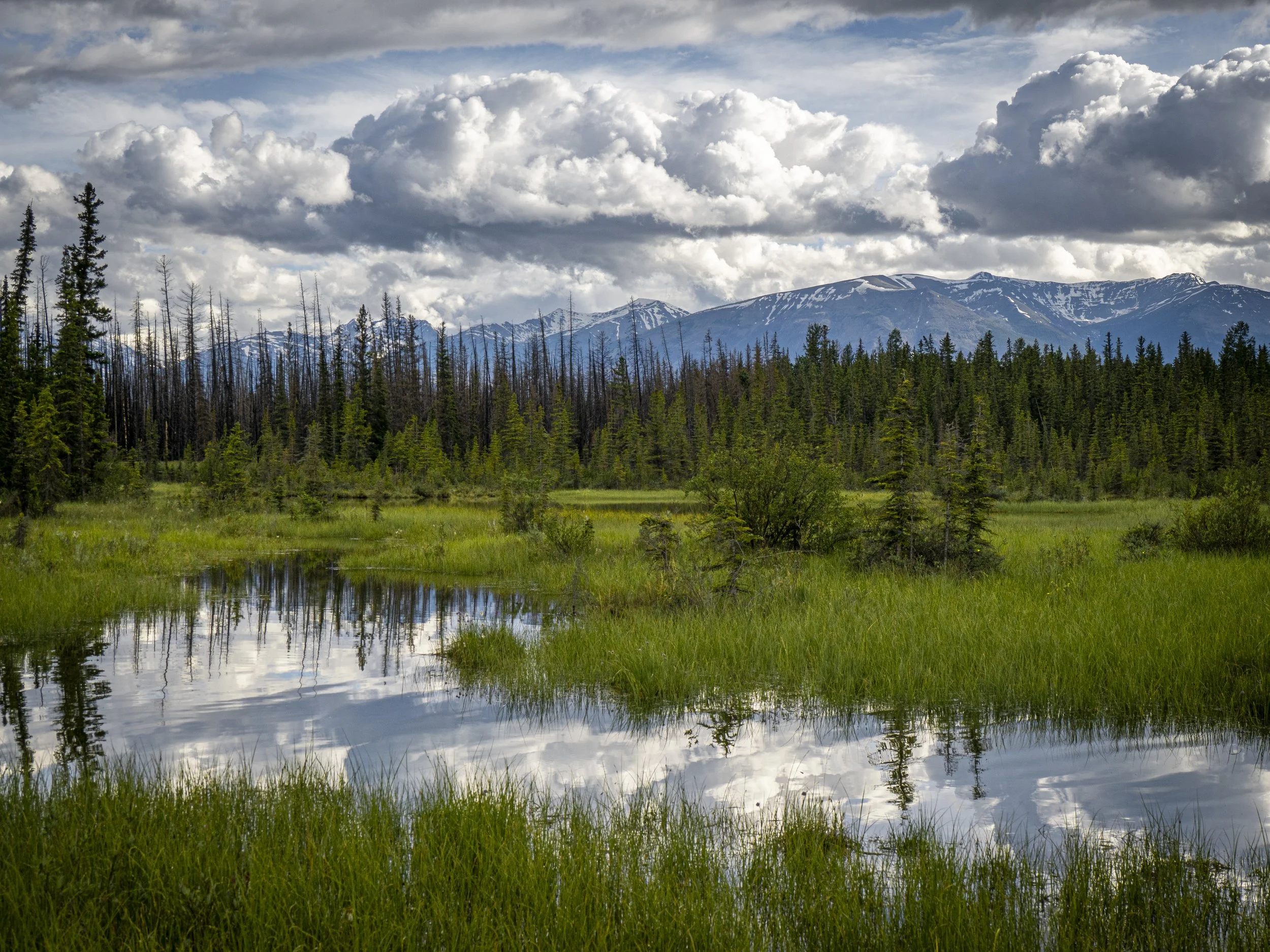
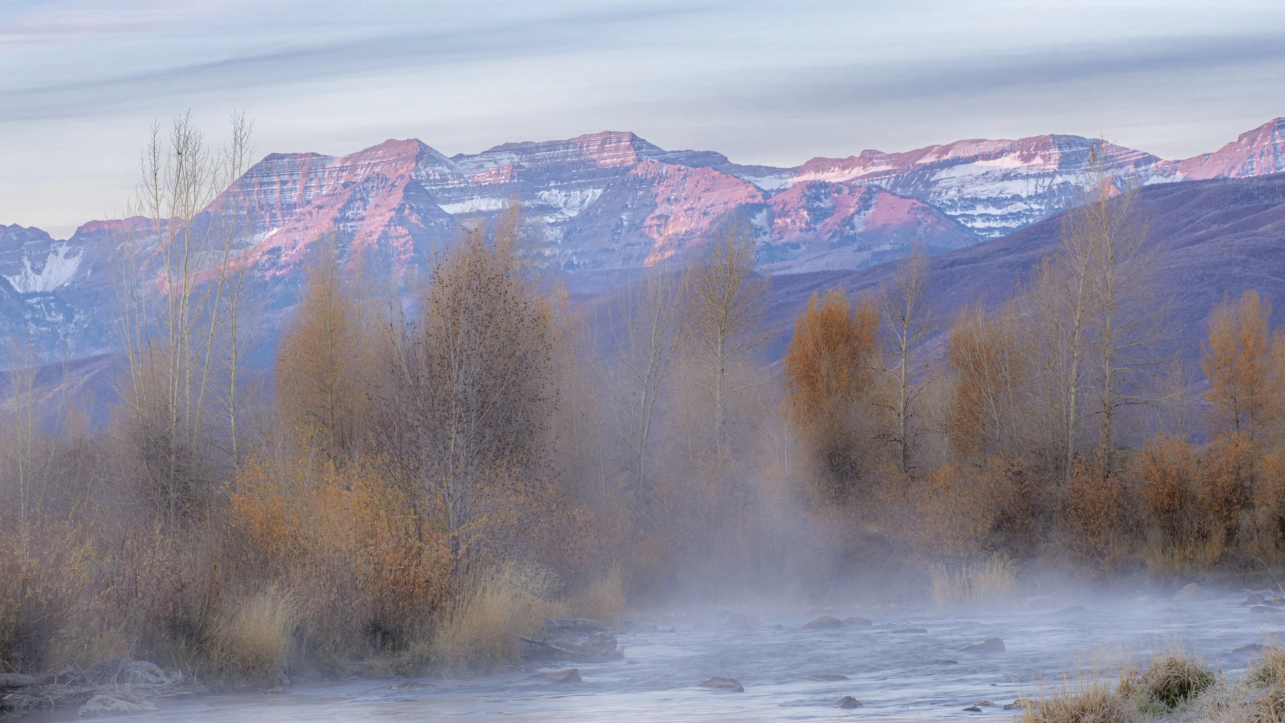
Late afternoon in Jasper National Park

Grande Prairie Heritage Park
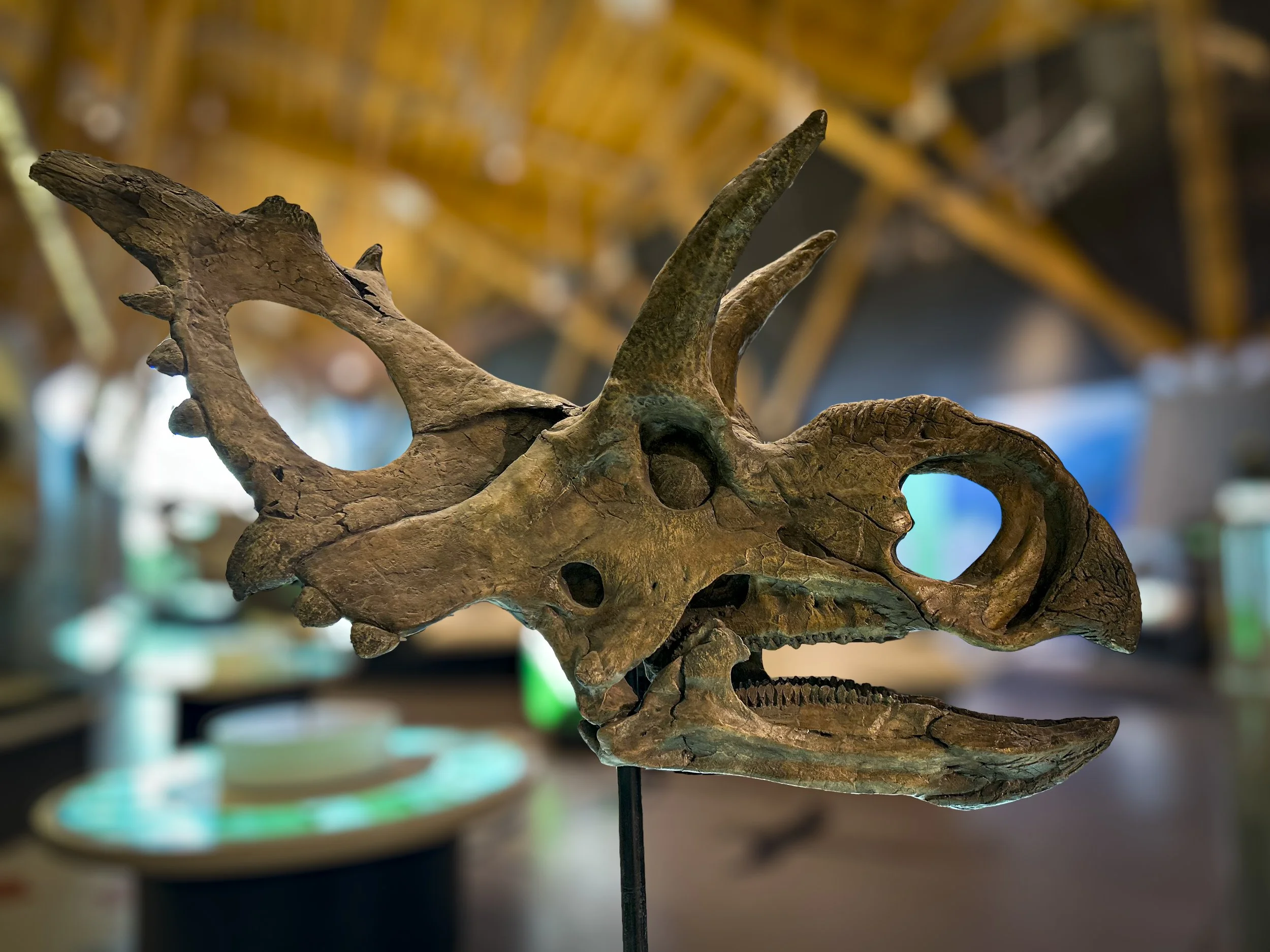
The Philip J. Currie Dinosaur Museum in Wimbley was fabulous. There are lots of dinosaur quarries in Canada.
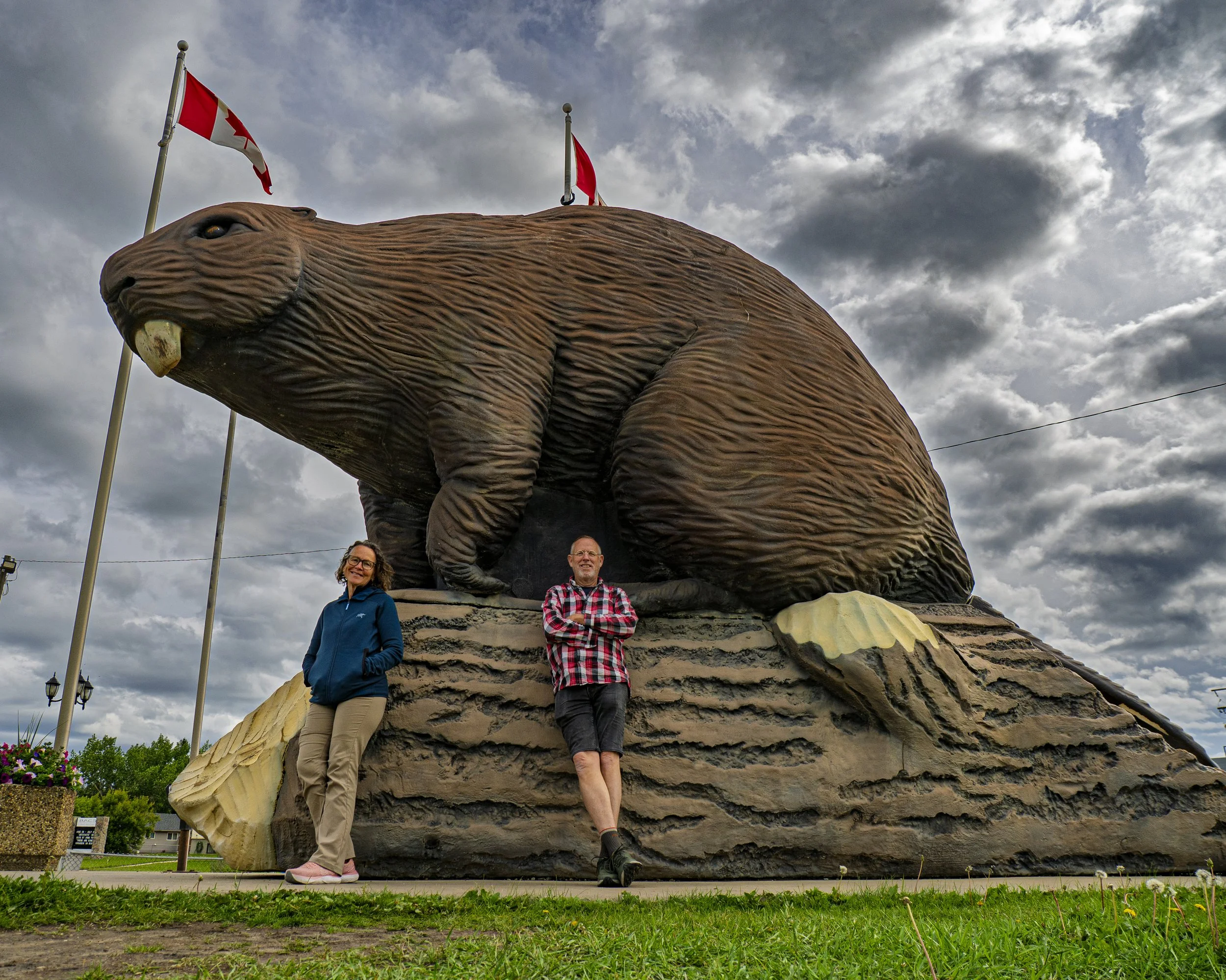
They also have big beavers in Canada, like this one at Beaverlodge
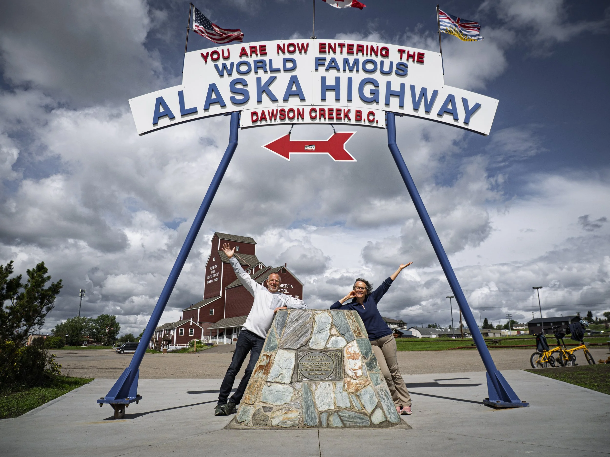
And on to the Alaskan Highway!