Fall has arrived in the Wasatch Front of Utah. It’s a beautiful time of the year, especially in a year fraught with so much stress and turmoil. My blogging has slowed to a crawl over the course of the summer. While I’ve ventured out on occasion to make photographs here and there, mostly I’ve stayed put at home, waiting out the passing of the pandemic. I’m anxious for a vaccine and for life to return to a more normal state. I don’t believe we will go back to what it was before. I think that would be a sad situation, to not have learned from one to the great trials of our time. I expect a new normal and a better life. I have an itch that is getting harder and harder not to scratch. I have a deep yearning to be on the road and exploring new worlds and photographing what I find. Over the summer, we continued working on our travel trailer. We christened our home on wheels, the Betty Lou, after my mother. Soon, we’ll be rambling over blue highways and traveling the backroads of America, visiting as many National Parks and Monuments as we can string together. I hope you will join in our journey as you read my blog and look at the photographs. Please share with us your favorite outdoor hangouts so we can add them to our ever-growing bucket list of places to visit.

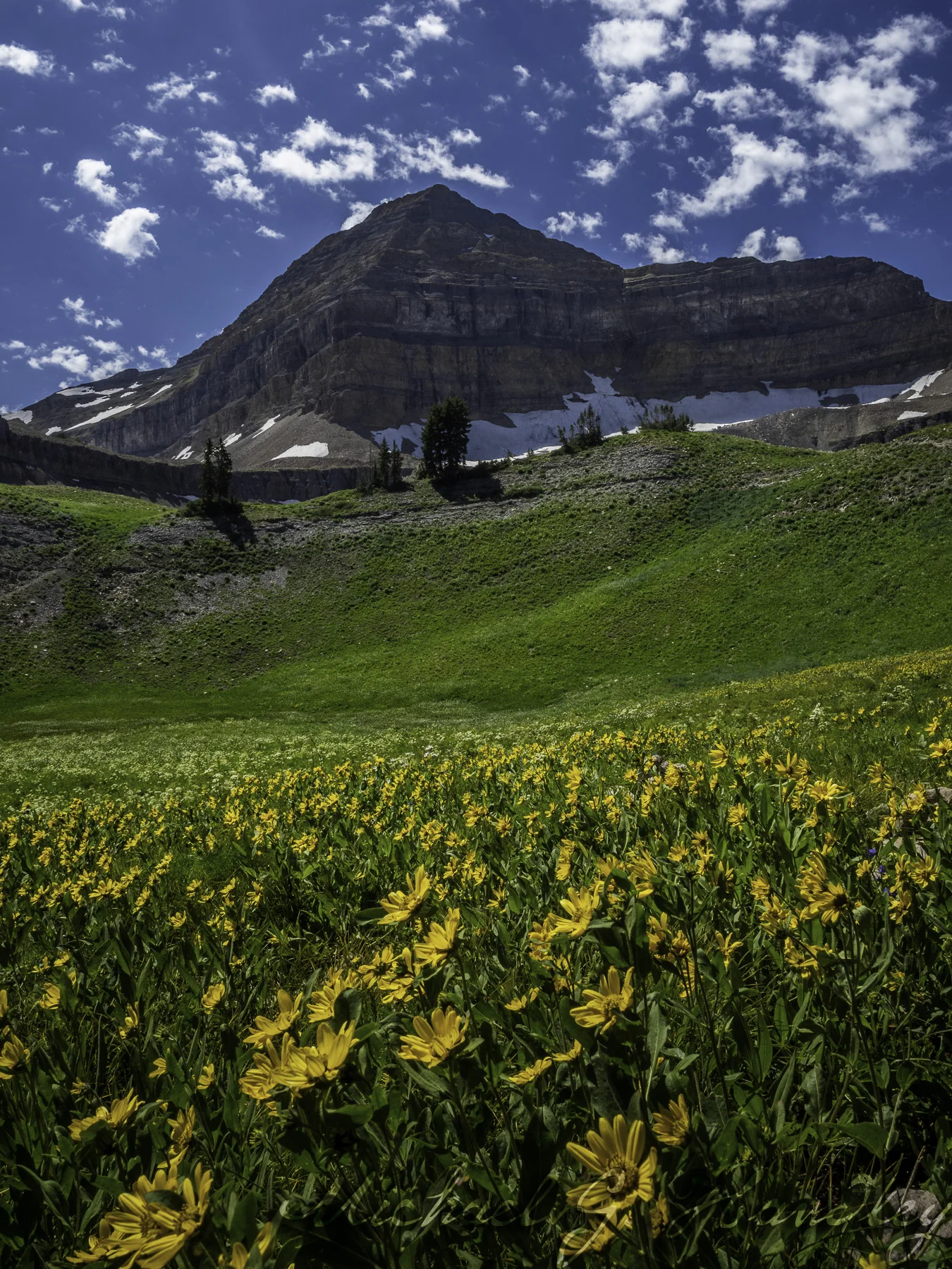
Mount Timpanogos from the Ridge Trail Complex. Hazy skies are due to the smoke drifting in from the west coast.
To acquire the image above, I began hiking at 6:00am Friday. I would have left sooner, but years ago I had an encounter with a moose in the dark and it scared the bejeebies out of me (I’m sure he was a carnivorous moose). In the dark, that same moose could be hiding behind any tree along the trail. With the sky turning grey and getting lighter every minute, I felt safer. Of course, leaving that late I would miss the first warm rays of sunlight striking the peak of Mount Timpanogos. As it turned out, we were under a heavy layer of smoke, presumably from the terrible wildfires in California and Oregon. I was skunked out of a sunrise anyway, so there was no point in getting to this magic spot any earlier.

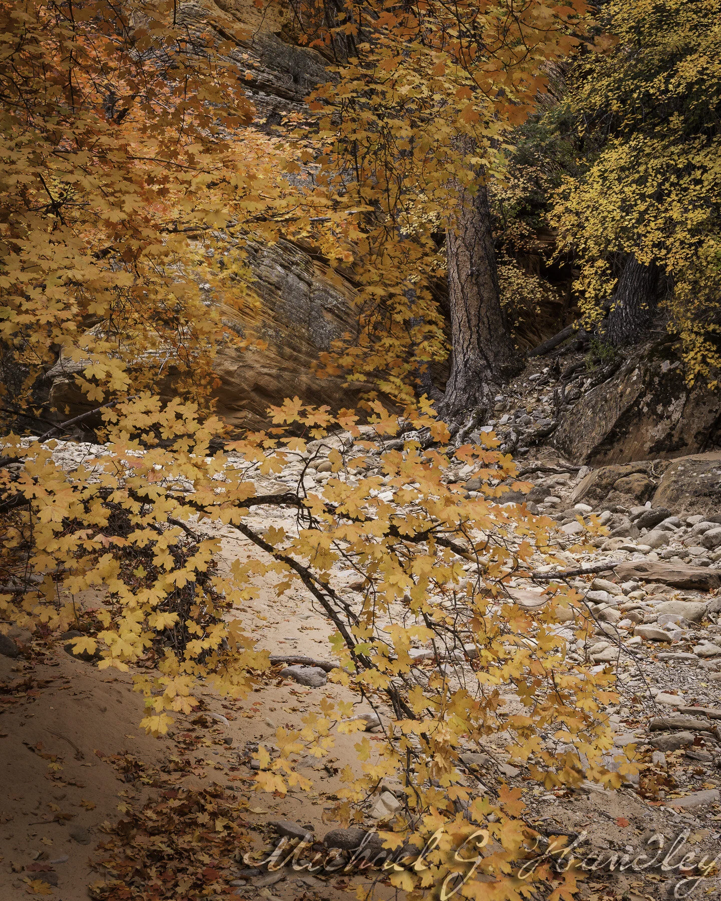
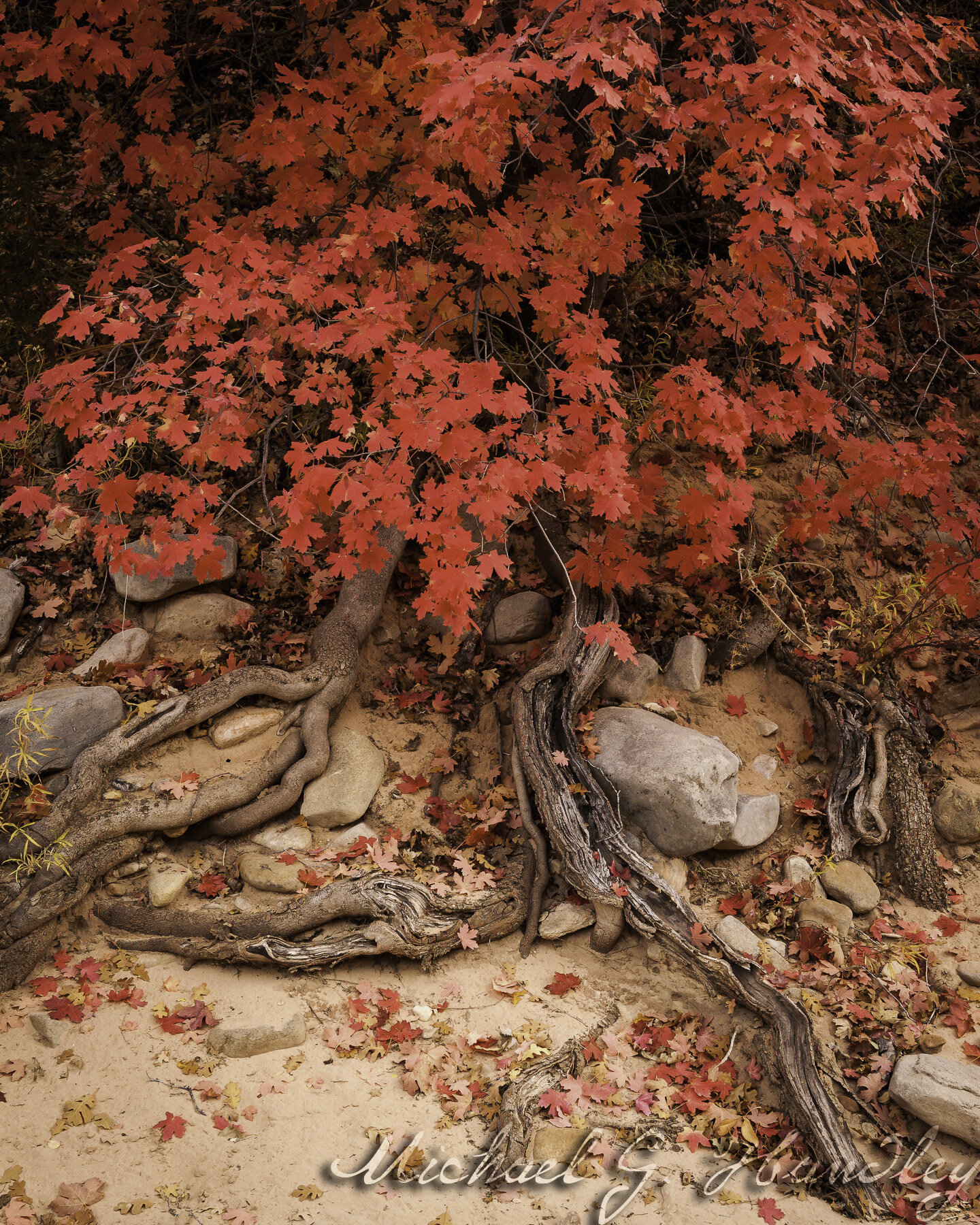
The maples are the first to turn color and turn the hills to rusty oranges and reds.
I love the fall colors here. Before the aspen turn, we drift into a patchwork of oranges and reds as the maple, oak, and ashes begin their change. The hills are a patchwork of brilliant colors that remind me of nature’s quilt block. It’s like a blanket that lays across the hills and up the slopes of mountains.

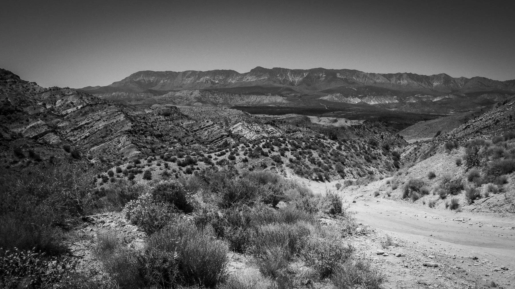
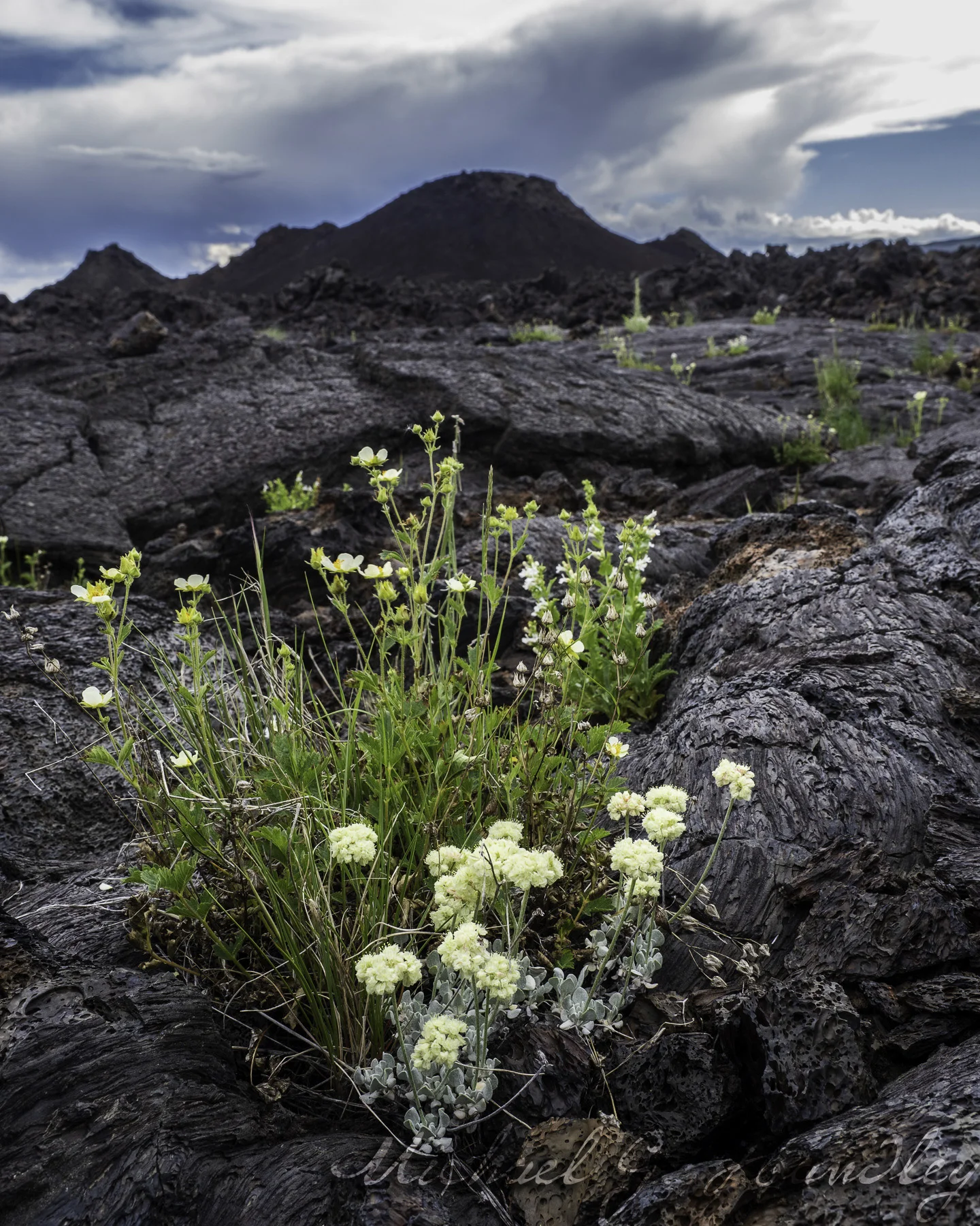
Wildflowers still bloom in late summer on the Wasatch Back.
Last year, we didn’t have stunning colors. An early freeze fell across the state and stopped our autumn showcase long before it ever began. I wasn’t expecting much this year because it has been a long hot summer. Utah is officially in a severe draught. The colors seem a bit muted over prior years, but I won’t complain about the vivid colors I’ve enjoyed this weekend.

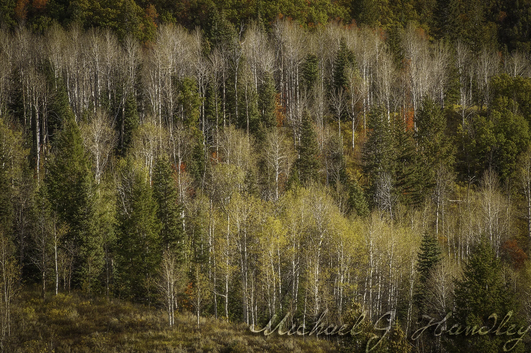
Provo Canyon color with trees backlit with the morning sun.
We have trips planned in the coming weeks and months, so I hope to return to a stronger pattern of blogging, writing, and mostly photography. If you live in Utah, now is the time to get and enjoy that drive across the mountains. Enjoy!

It has been a few years since we’ve seen these rich fall colors. Glad they made an appearance this year.